Price Creek Inlet
| Mattapex, Maryland United States | |
| 38° 53' 57.12'', -76° 22' 9.13'' | |
| Shipping Creek |


You might also consider...


About
Introduction:
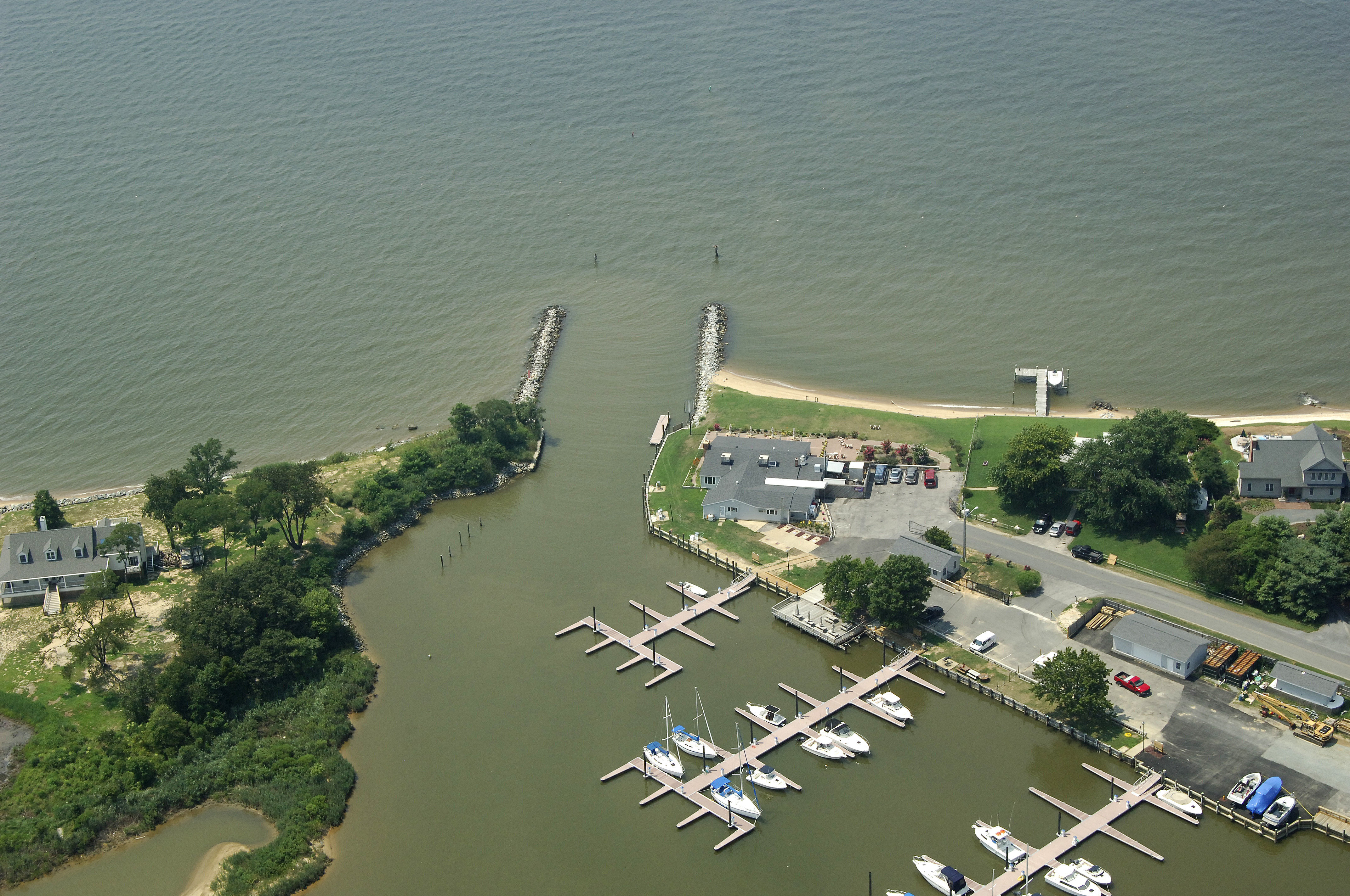
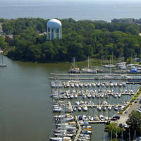
Price Creek is a small, protected piece of water that cuts into Kent Island about four miles north of Bloody Point and six miles south of the Chesapeake Bay Bridge. Though most of the creek is too shallow for exploration, or even anchoring, the Queen Anne marina is located here and has transient slips available for visiting boaters.
Navigating the Water:
Use NOAA Chart 12270.
Though the current version of NOAA Chart 12270 shows depths of only two feet, the Maryland Department of Natural Resources reports six-foot depths into the Queen Anne Marina, which is located just inside. In any event, you should radio ahead to the Queen Anne Marina for the latest inlet depths and conditions, especially if you craw more than four feet.
There are only private aids to navigation into Price Creek and they are not charted. From the Chesapeake Bay, simply line yourself up with the opening, which is due east of the Thomas Point Shoal Lighthouse, which is about three miles to the west.
Once you have reached the jettied entrance, follow the private uncharted aids into the inlet, and then into Price Creek beyond. The Queen Anne Marina is just to port on entry with transient slips, gas and diesel fuel, marine supplies, and a lift for haul-outs and repairs.
Local Notices to Mariners:
Local Notices to Mariners are available online from the U.S. Coast Guard.