Pawcatuck River Inlet
| Watch Hill, Rhode Island United States | |
| 41° 19' 14.15'', -71° 51' 30.95'' | |
| Watch Hill Harbor |


About
Introduction:
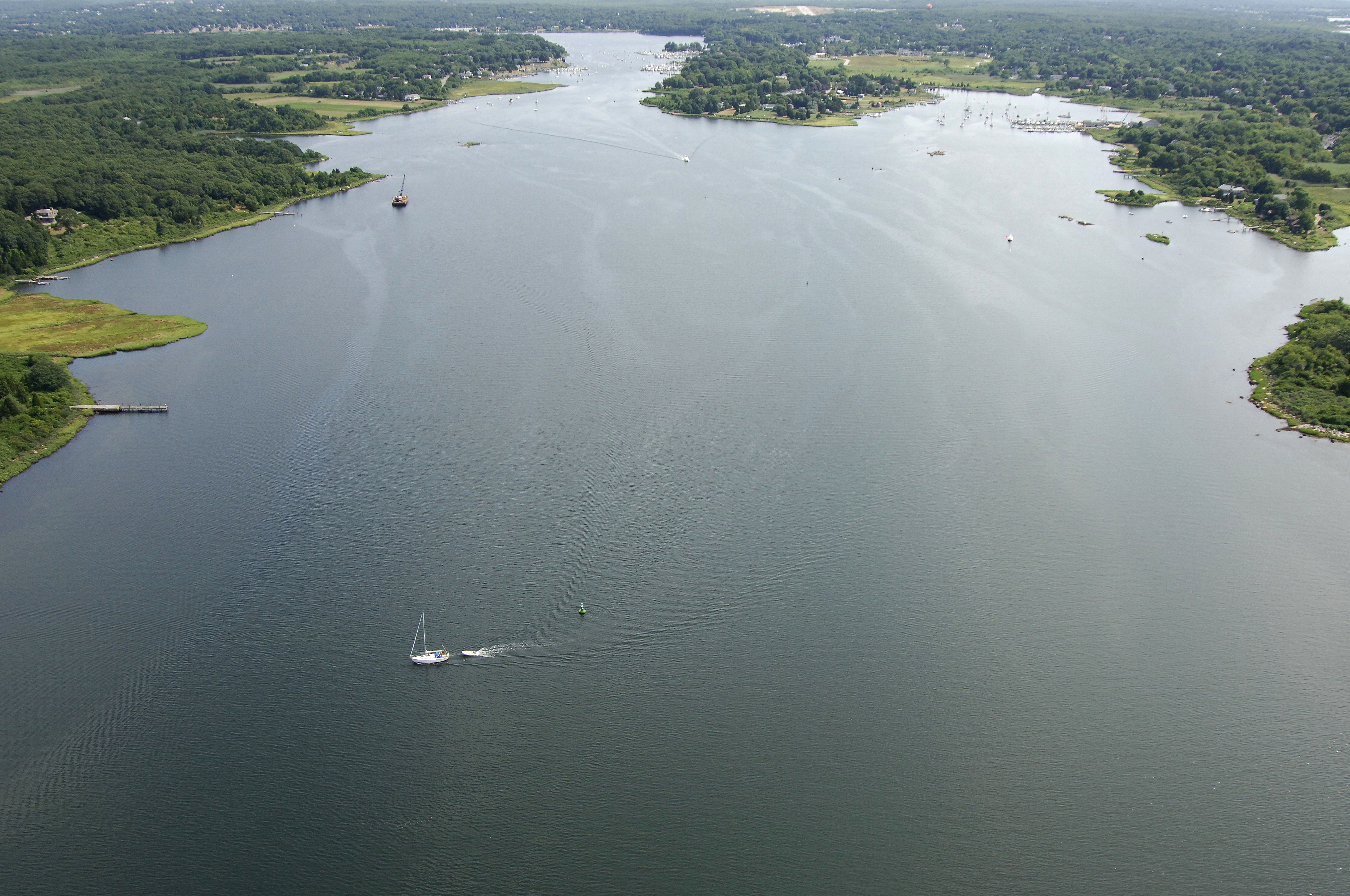
Located on the Connecticut/Rhode Island state line, the Pawcatuck Rive is home to the towns of Westerly and Watch Hill, both well-equipped and long-established yachting centers. The Pawcatuck River Inlet is 17 miles west of Block Island, 18 miles east of New London and 30 miles southwest of Newport. Although the river requires an indirect northern approach through Little Narragansett Bay, the Pawcatuck River is very popular with boaters and cruising mariners.
Watch Hills is located just south of the river entrance and the Watch Hill Docks there will accept transient guests. Across the dunes from Watch Hill Cove is Watch Hill Point and an excellent beach for surf fishing, beach combing or lounging.
Westerly is located about three miles up the Pawcatuck River, and along the way you will find no less than 10 marine facilities, almost all of which will accept transients at their slips. Moorings are limited in the river due to its narrow nature, but they are around; you just have to look.
Navigating the Water:
Use NOAA Chart 13214.
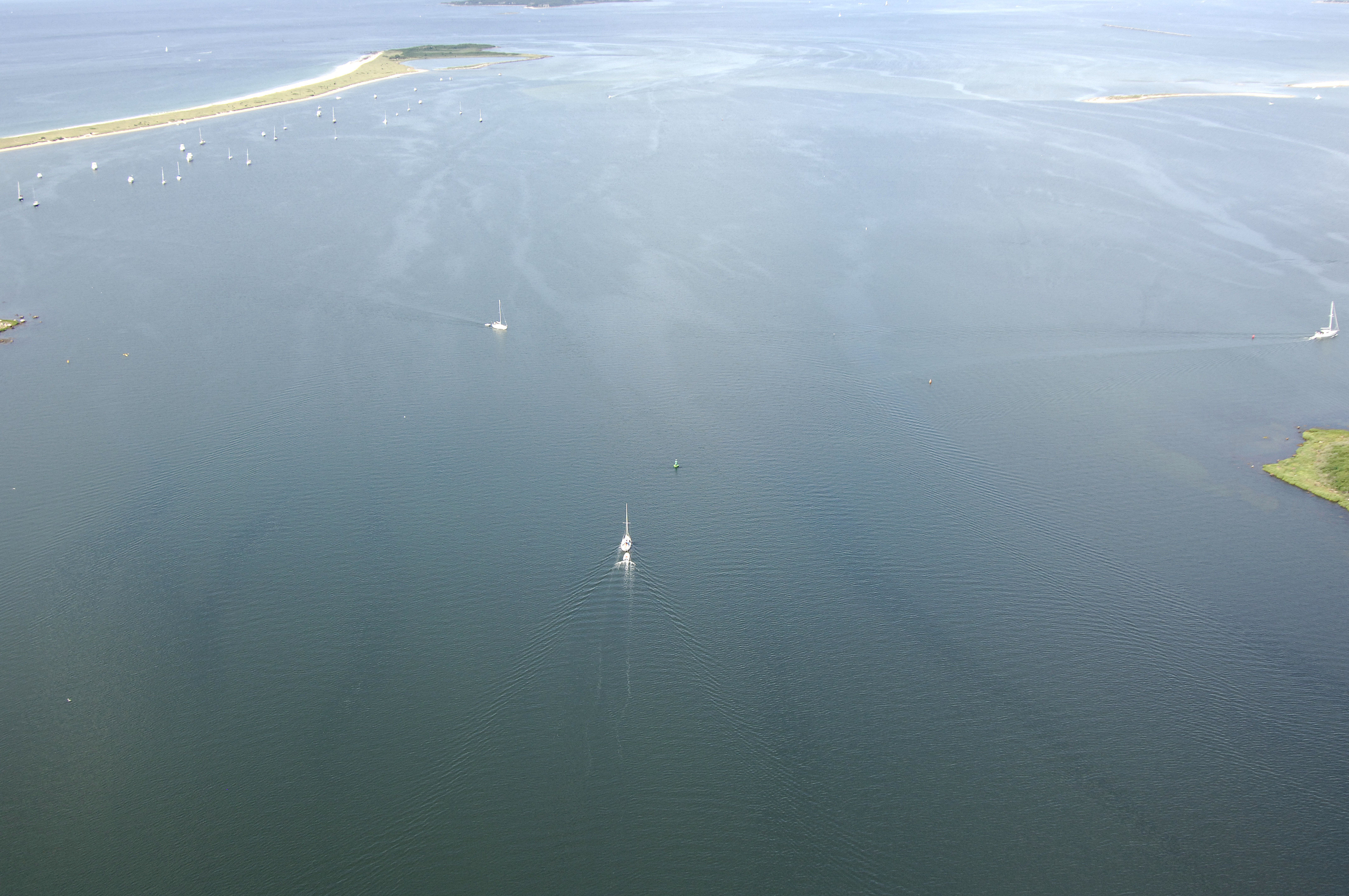
The Pawcatuck River is reached via a northern route through Little Narragansett Bay. The southerly route near Watch Hill has depths of one foot throughout and is basically impassable. From inside the breakwaters at Stonington Point to the north, pick up flashing red buoy 2, and then chart a course for red nun 4 to the northeast. Once you have cleared the red nun buoy, move toward the northeast to intercept flashing green 5, which is located at the entrance to Little Narragansett Bay between Sandy and Edwards points.
The southeast journey across Little Narragansett Bay to the mouth of the Pawcatuck River is about two miles, and the channel follows a long line of lighted and unlighted buoys with depths of at least seven feet. From Sandy Point and flashing green buoy 5, you will follow green can 7, green can 9, red nun 10, green can 11, flashing green 13, red nun 14, red nun 16, green can 17, red nun 18A, flashing green 19, red nun 18, red nun 20 and red nun 22 to flashing green buoy 23 at the mouth of the Pawcatuck River.
Green can 1 marks the beginning of the passage up the Pawcatuck. Depths in the river vary from eight to 11 feet, and generally, the buoys do carry you through the deepest water. Currents here can be strong and warrant a steady hand on the helm. Marinas are scattered along the length of the river up to Pawcatuck and Westerly.
Local Notices to Mariners:
Local Notices to Mariners are available online from the U.S. Coast Guard.