Mill Creek Inlet
| Solomons, Maryland United States | |
| 38° 19' 30.0'', -76° 27' 12.95'' | |
| Solomons Island |


About
Introduction:
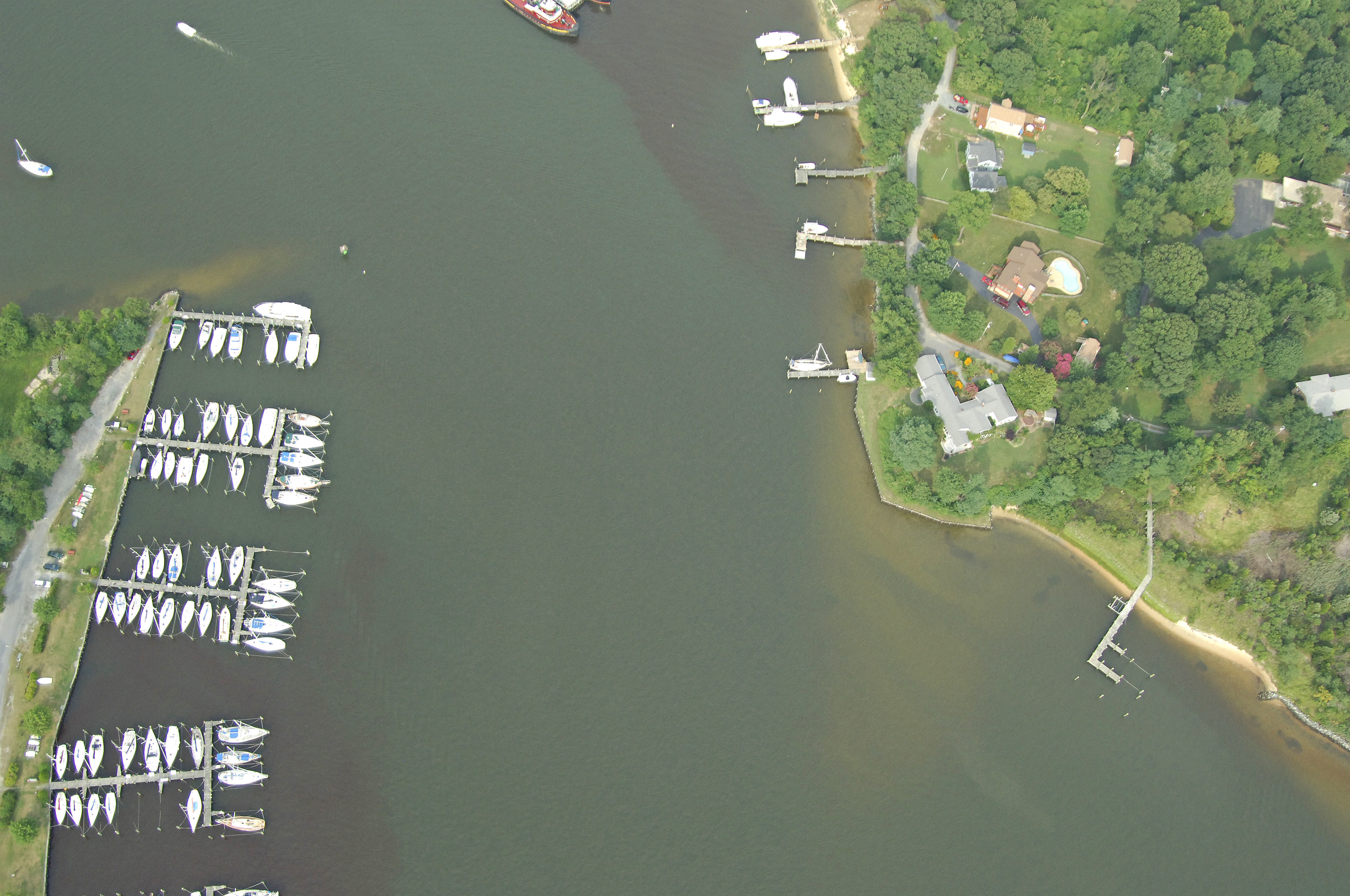
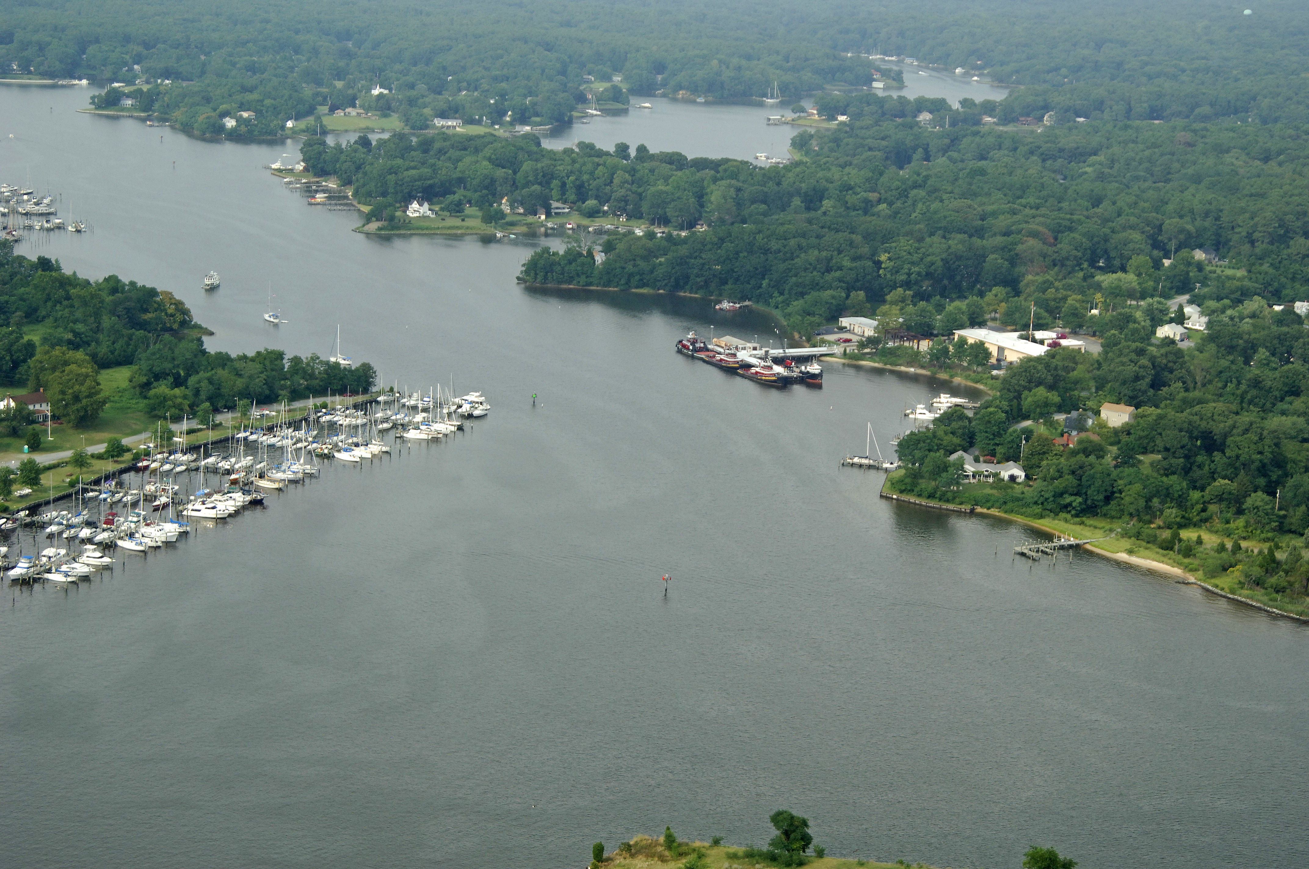
Mill Creek is one of two major yachting thorofares in the Solomons Island area, the other is the very active Back Creek. Mill Creek shares a joint entrance with Back Creek at Solomons Island and has not only excellent anchorages but a few very well equipped marinas.
Navigating the Water:
Use NOAA Chart 12284.
Mill Creek is reached via the Patuxent River at Solomons Island, and two primary approach channels - one from the south and one from the east - lead the way toward the inlet.
Approaching from the east, Drum Point is marked by flashing green 4 and should be left a good distance to starboard. From here, set a course for green daybeacon 1, and then head toward green daybeacon 3 and red daybeacon 2A. Give all marks a wide berth, as they mark a large shoal area to port heading west. Once clear of these two marks, head in, making sure to honor red daybeacon 4 as you head in toward the flashing red (2+1) light on the breakwatered island.
From the south, mind quick flashing red 6A marking the long shoal extending southward from Sandy Point, and then head for flashing green 3, making sure to keep clear of the marked pier. From flashing green 3 you can start in to Back Creek at red daybeacon 2, and then toward the flashing red lights on the island and Ship Point.
Local Notices to Mariners:
Local Notices to Mariners are available online from the U.S. Coast Guard.