Sabine Pass Inlet
| Port Arthur, Louisiana United States | |
| 29° 41' 18.6'', -93° 50' 0.23'' |

You might also consider...


About
Introduction:
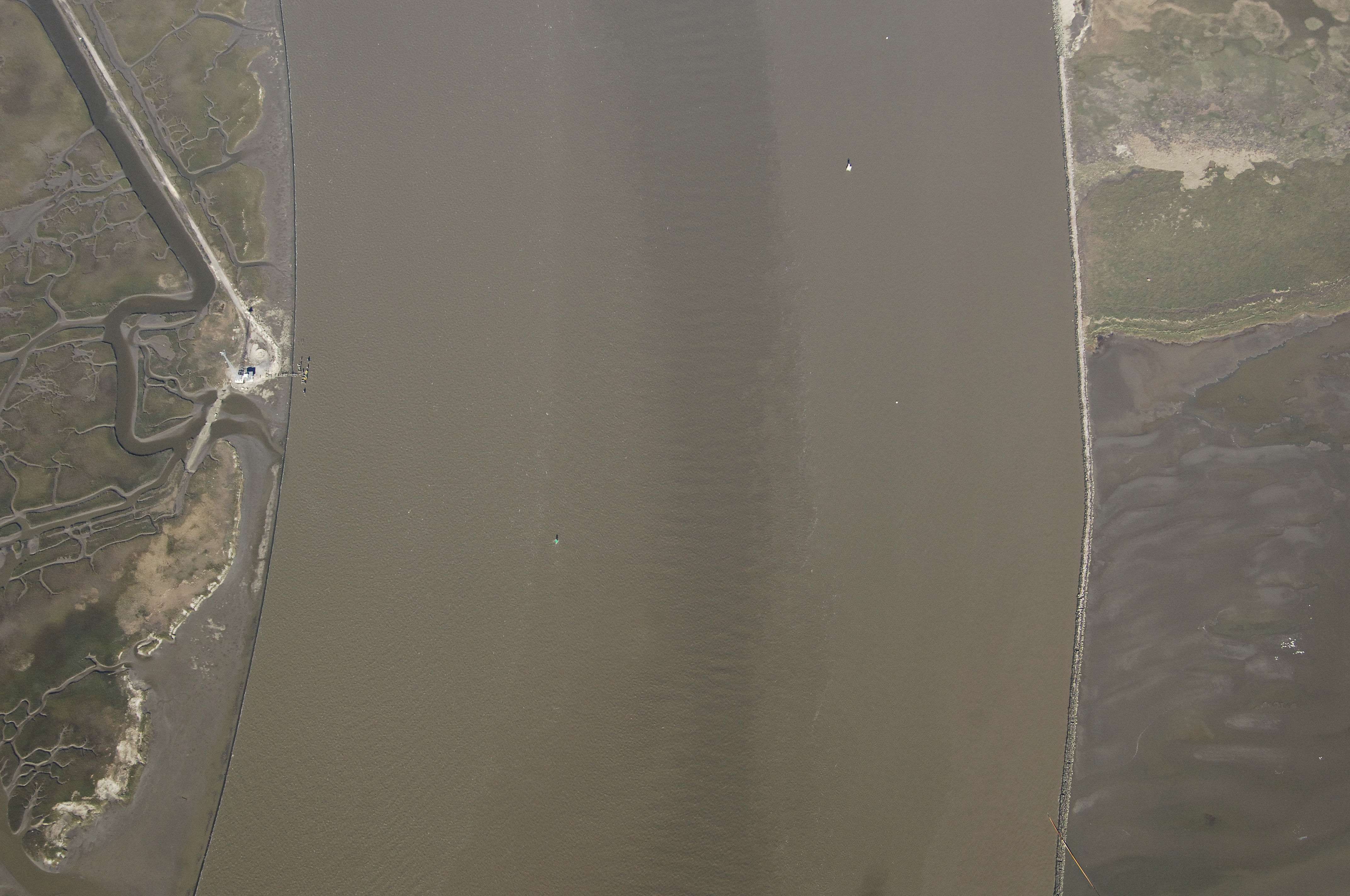
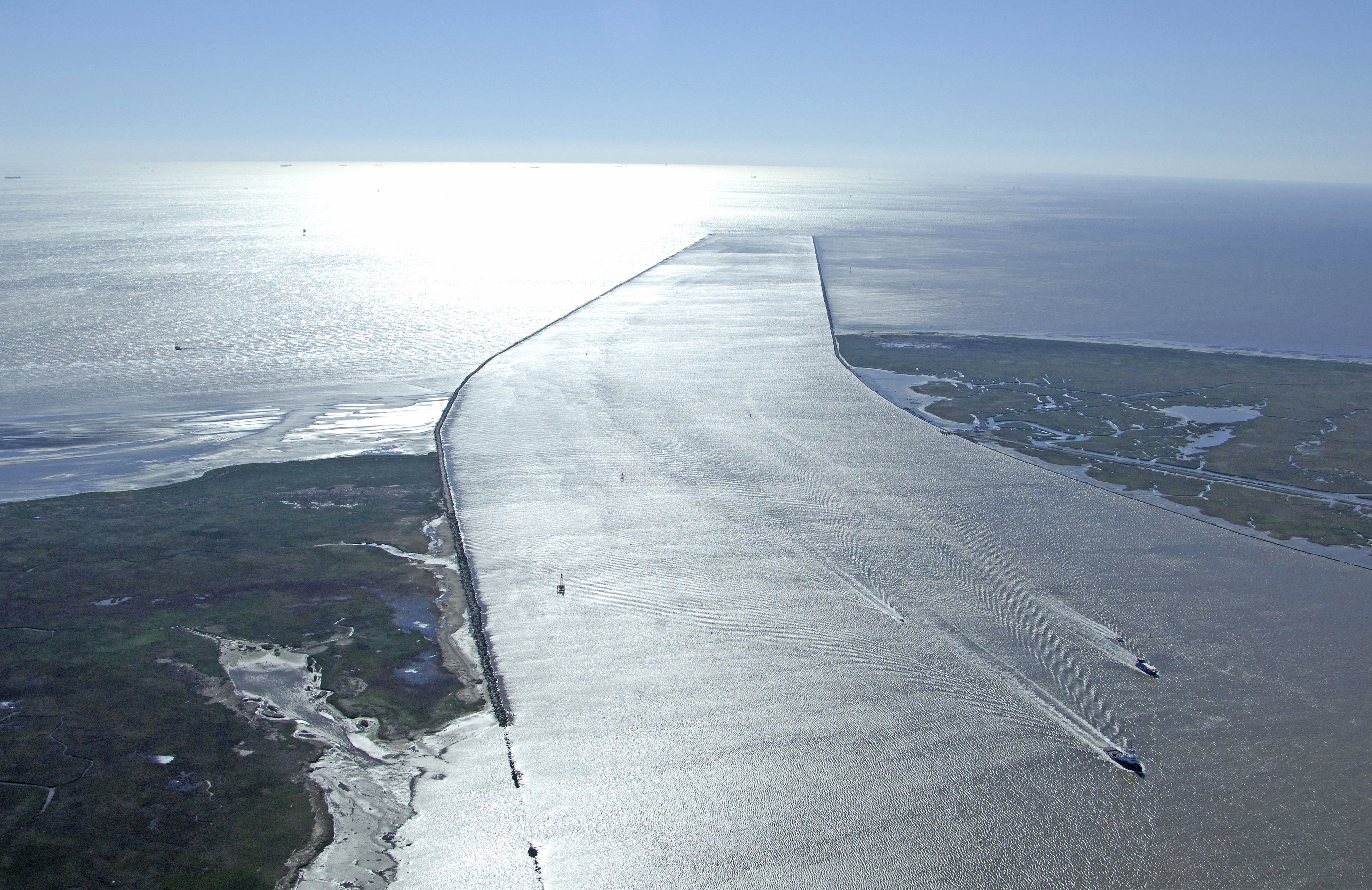
About 31 miles to the west of the Calcasieu Ship Channel Inlet (see our inlet listings in Louisiana for detailed information) lies Sabine Pass Inlet. The image above is a view from the south looking north over the jettied portion of the inlet as it enters Sabine Pass. Off to the right (east) side of the image is Sabine Lake, where the Louisiana/Texas State line works it way across until it traverses Sabine Pass near the lakes southern terminus. Farther up on the upper left (west) side of the image, the light populated area of Port Arthur Is visible.
Marinas still remain scarce in this area, as commercial oil and shrimp interests dominate the port areas, but that doesnt mean they are non-existent. Check our marina listings for detailed information on local marina accommodations.
Navigating the Water:
Most recreational boaters from offshore can pick up quick flashing green gong buoy 29 near waypoint 29 35.861N 93 48.292W, which lies about 3.3 miles to the southeast of the twin breakwaters to Sabine Pass. Once you have picked up quick flashing green gong buoy 29, set a course of 316 degrees magnetic to intercept flashing green buoy 17 and flashing red buoy 18 the west and east inlet jetties, respectively.
The inlet jetties continue for about 3.4 miles until you reach green buoy 27, where you will make a gradual turn to the northwest and toward the west turn at Sabine Lake, where the Lousiana-Texas state line runs across the channel. Once past the point to the west, you are in the state of Texas.
Local Notices to Mariners:
See our Local Notices to Mariners blog for updates on the latest conditions and advisories for this area.