North Fort Pierce Bridge
| Fort Pierce, Florida United States | |
| 27° 28' 18.12'', -80° 19' 32.87'' | |
| Fort Pierce |

You might also consider...


Details
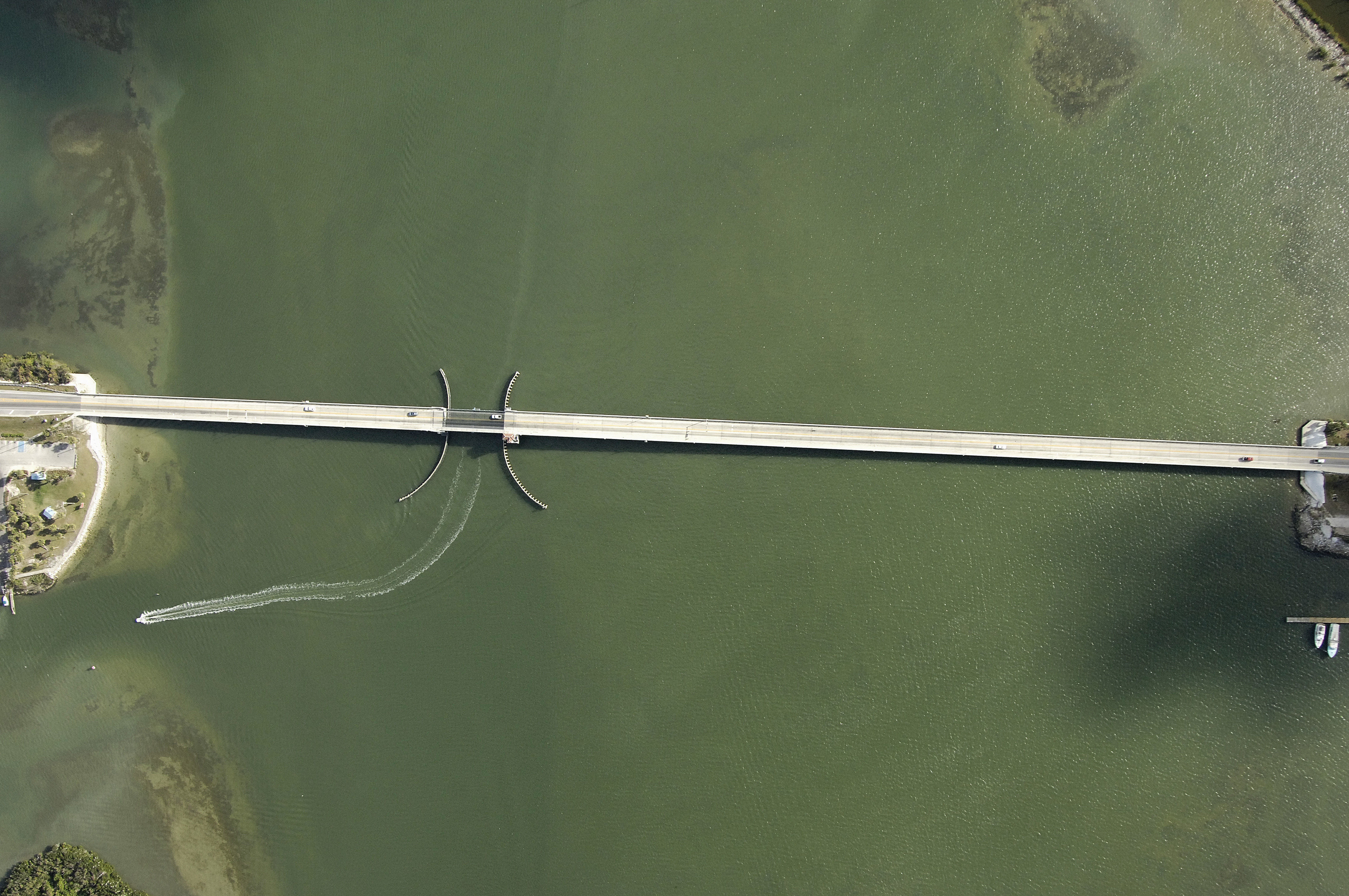
| Bridge type | Bascule |
| Closed vertical clearance | 23' |
| Vhf | 9 |
| Schedule | Opens on request. |
About
Introduction:
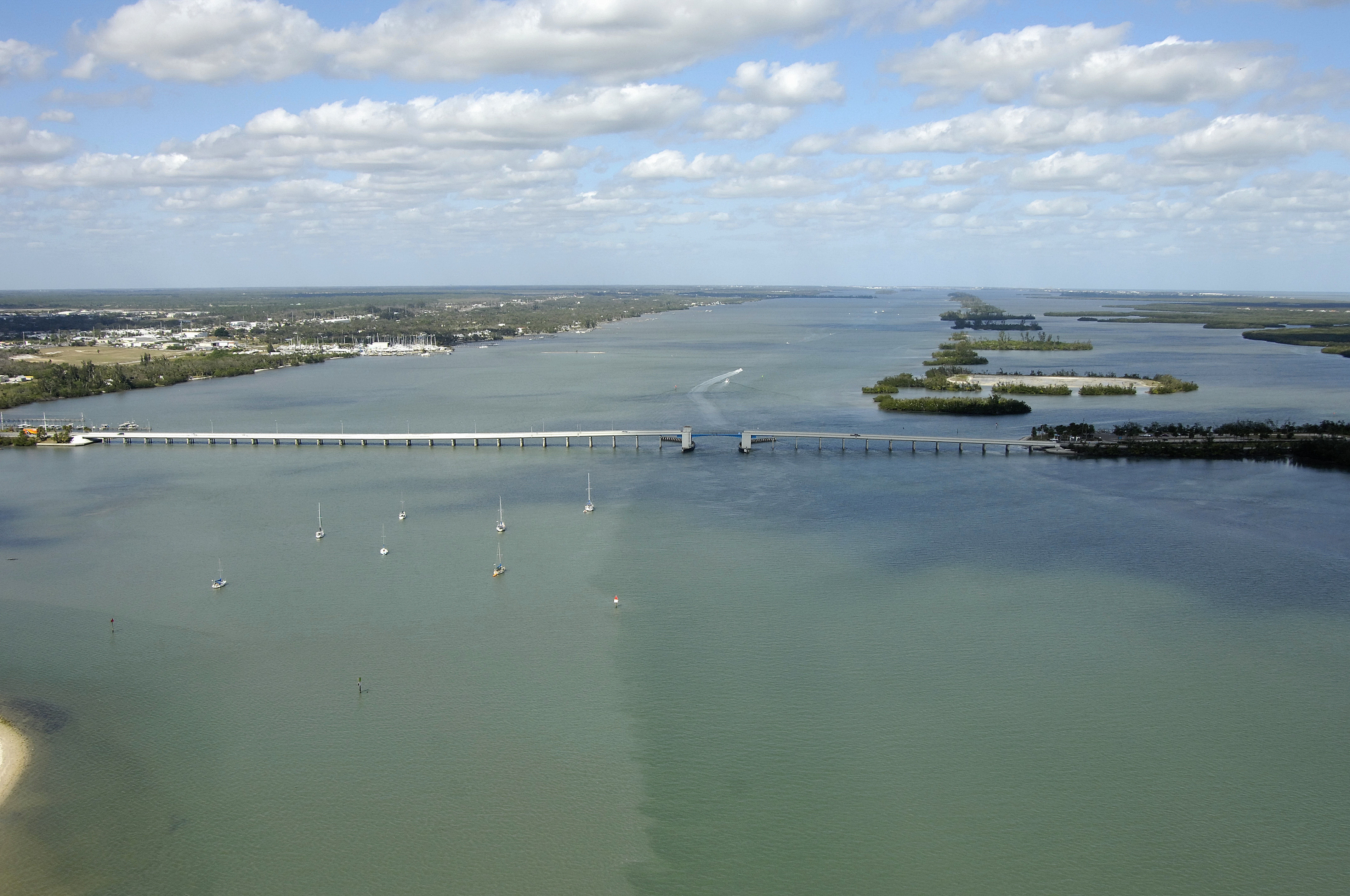
Located at Intracoastal Waterway Mile Marker 964.8, the Fort Pierce North Bascule Bridge is the northern most of two major bridges that crisscross the ICW in the Fort Pierce area. The second, the Peter P. Cobb Bridge to the south, is fixed, and has a high 65-foot vertical clearance.
Navigating the Bridge:
Use NOAA Chart 11472.
The bridge has a 26-foot closed vertical clearance with 90 feet of horizontal space in the center span.
Currents in and around the Fort Pierce Inlet play a major role in navigation. It is wise to check the tide reports before transiting the bridges in the Fort Pierce area ahead of time so you will have an idea of the strategy you will need to utilize for safe passage. That said, the channels here are fairly deep and well marked; just keep an eye on the depth sounder and honor all aids to navigation carefully.
Bridge Schedule:
This bridge opens on demand, 24 hours a day, seven days a week.
The bridge can be opened by horn signal (one long, one short) or by hailing the bridge tender on VHF Channel 09. (All bridges in the state of Florida must be hailed on VHF Channel 09.)
Local Notices to Mariners:
Local Notices to Mariners are available online from the U.S. Coast Guard.