Manatee River Inlet
| Bradenton, Florida United States | |
| 27° 31' 15.96'', -82° 37' 59.88'' | |
| Manatee River |
You might also consider...


About
Local Notices to Mariners:
Local Notices to Mariners are available online from the U.S. Coast Guard.
Introduction:
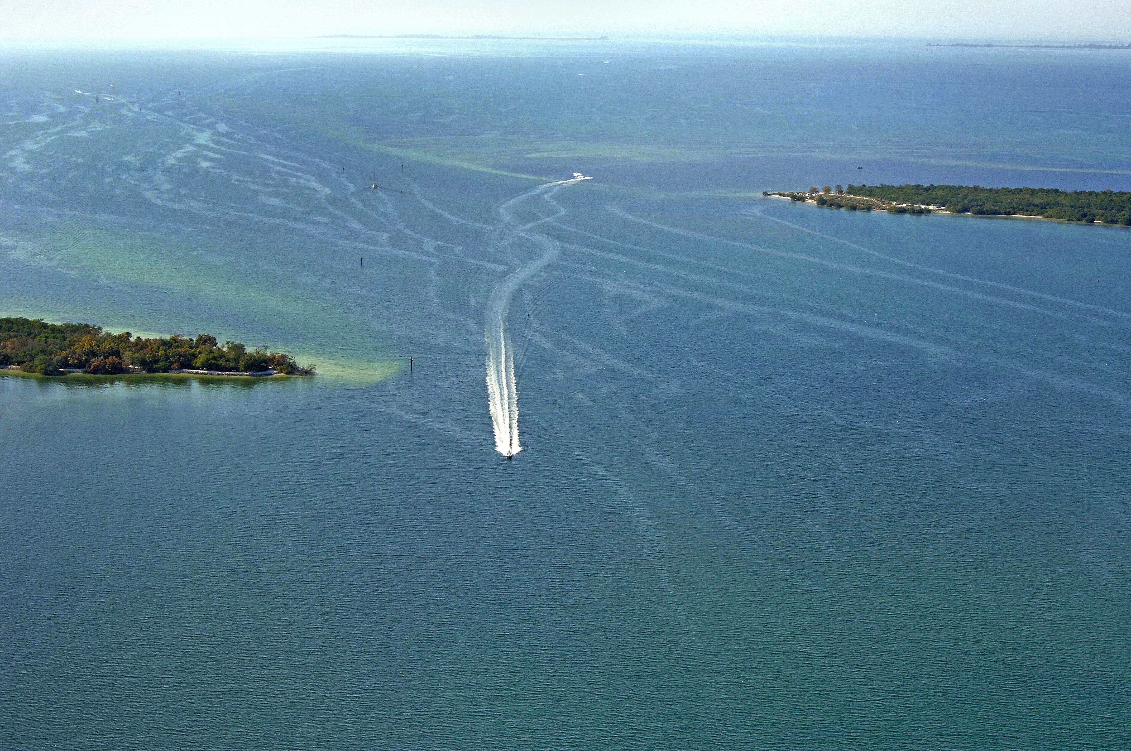
The Manatee River is a large body of water located off the southeast end of Tampa Bay on Florida's West Coast just northeast of Anna Marina Sound and east of the Gulf Intracoastal Waterway (GIWW).The image above is a view from the west looking east over the entrance to the Manatee River between Emerson (left/north) and DeSoto (right/south) points. Farther off in the distance, the West 8th Avenue Fixed Bridge, the first in a series of three bridges that cross the Manatee River in Bradenton, can be seen making its way across the river.
Navigating the Water:
Use NOAA Chart 11415.
The Gulf Intracoastal Waterway works its way up Tampa Bay from Anna Maria Sound and passes just a mile off the entrance channel to the Manatee River south of GIWW Mile 95. From the GIWW, set a course to intercept flashing red 2, which marks the start of the approach channel into the Manatee River about 2.5 miles west of the river opening at DeSoto and Emerson points.
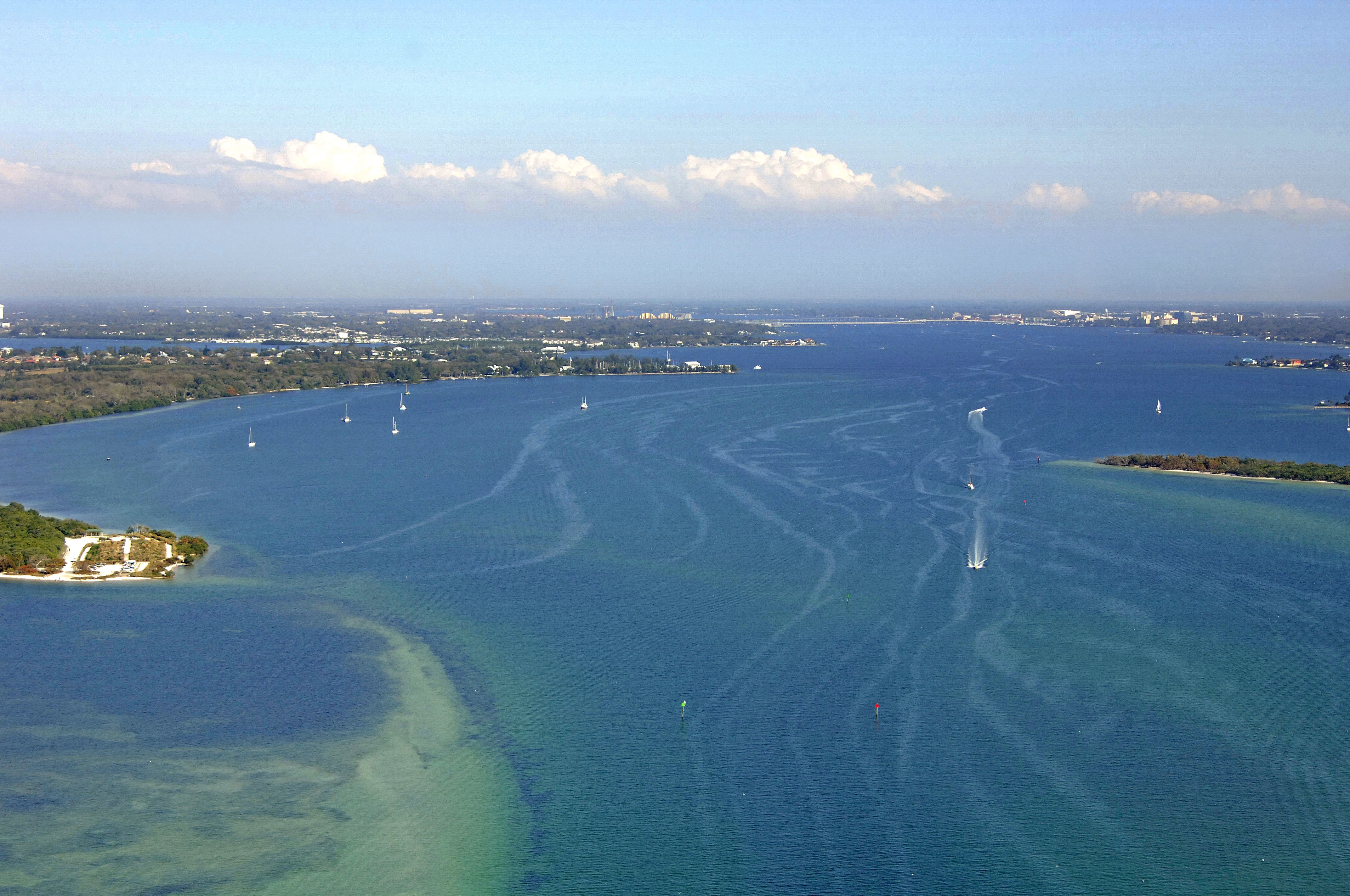
Once you have picked up flashing red 2, set a course of about 141 degrees magnetic for a distance of about .8 mile to meet up with quick flashing red 4. From here, the channel takes a more easterly bend and passes by the rear range of flashing red 4, quick flashing red 6, and then red daybeacon 8 and quick flashing green 7 (visible in the image above) near Emerson Point. The channel then makes a turn toward the south, lining up for, and passing close to, DeSoto Point, which is the small sliver of land on the right side of the aerial image above (notice the boats traveling along this channel). Many boats dont realize what they are doing, or dont pay attention, and run aground on the two shoals that can clearly be seen running up along both sides of the passage.
Past DeSoto and Emerson points, the channel opens up and deepens to nine- to 14-foot depths for most of the width of the river, except for obvious area like McKay Point (unmarked) McNeil Point (flashing red 14), and then Hooker Point farther on.
The Boca del Rio Marina is the first Mantee River facility, and is located on the south side of the entrance channel to the west of DeSoto Point. Inside the river on its north side about 2.7 miles from the entrance is the Cuts Edge Harbor Marina, which is marked by red daybeacon 2 on the charts. The rest of the Manatee River areas are located around the set of three bridges across the river in Bradenton.