Cohasset Narrows Inlet
| Buzzards Bay, Massachusetts United States | |
| 41° 44' 33.0'', -70° 37' 42.96'' | |
| Buttermilk Bay |


You might also consider...


About
Introduction:
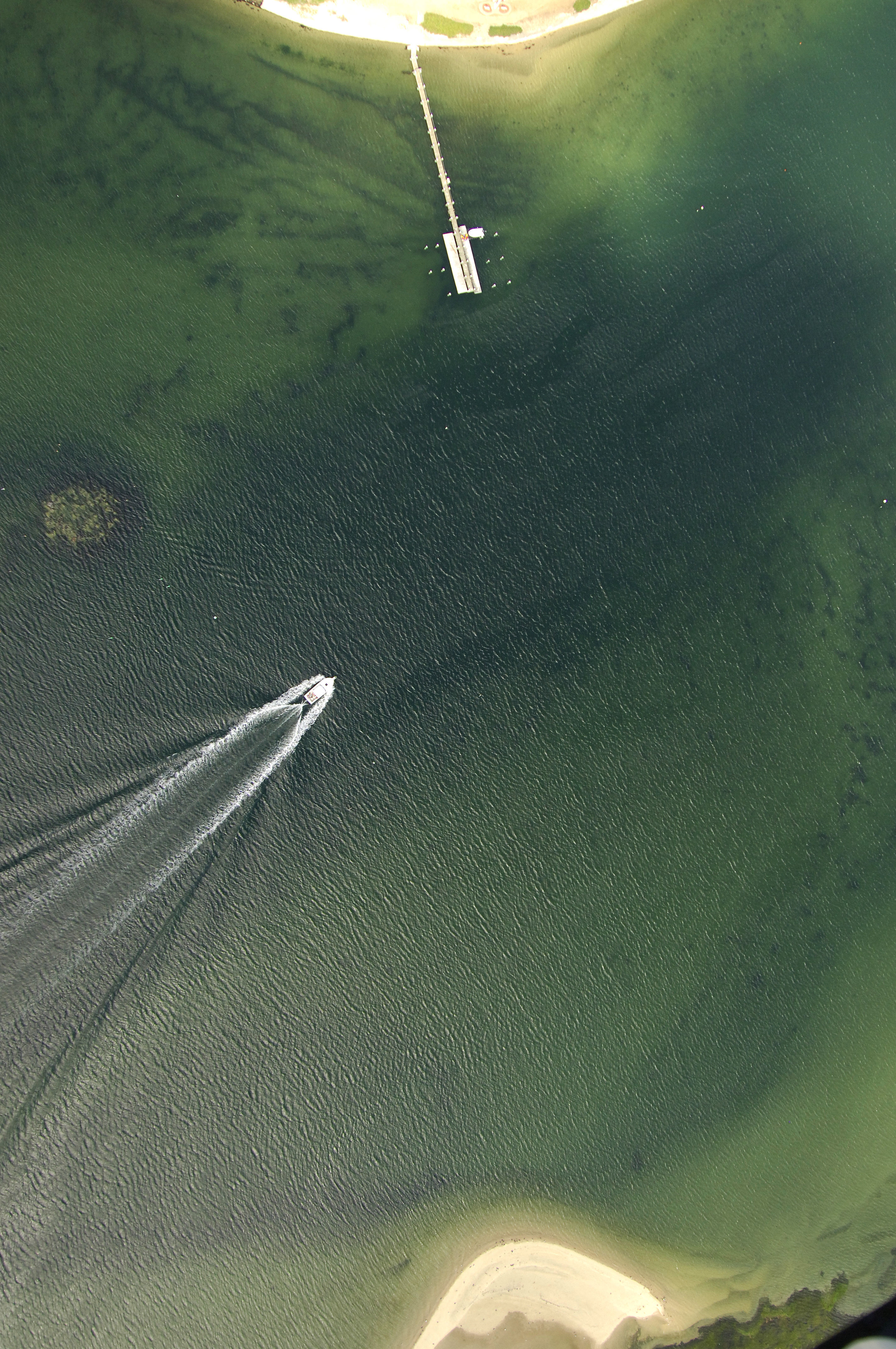
Located less than a mile west of the southern entrance to the Cape Cod Canal, Cohasset Narrows lines the waterfront of Buzzards Bay, the town from which the name for the watery Buzzards Bay gets its name. With its conveniently close location to the Cape Cod Canal, many boaters stop in Buzzards Bay to take a rest before making the 10-mile-long trek up the Cape Cod Canal. There are marinas on either side of the twin bridges at Buzzards Bay (nine- and eight-foot closed vertical clearances, one railroad, one road bridge), and anchorage is available off of Cohasset narrows behind Jacobs Neck.
Navigating the Water:
Use NOAA Chart 13236.
From Buzzards Bay, Cleveland East Edge Light starts the approach to the Hog Island Channel, which leads toward Cohasset Narrows and also the Cape Cod Canal. From Cleveland East Edge Light, set a course to quick flashing green buoy "1" near the south end of Stony Point Dyke. This is the beginning of the Hog Island Channel.
Once you have cleared quick flashing green "1," it is a straight shot northeast to green can "25" where you will look for green can "1" at Sias Point. This can leads you north past Jacobs Neck to Cohasset Narrows along a line of unlit marks. Depths in the narrows average about five feet, but depths shallow quickly to two feet past the draw bridges in Buzzards Bay.
Local Notices to Mariners:
Local Notices to Mariners are available online from the U.S. Coast Guard.