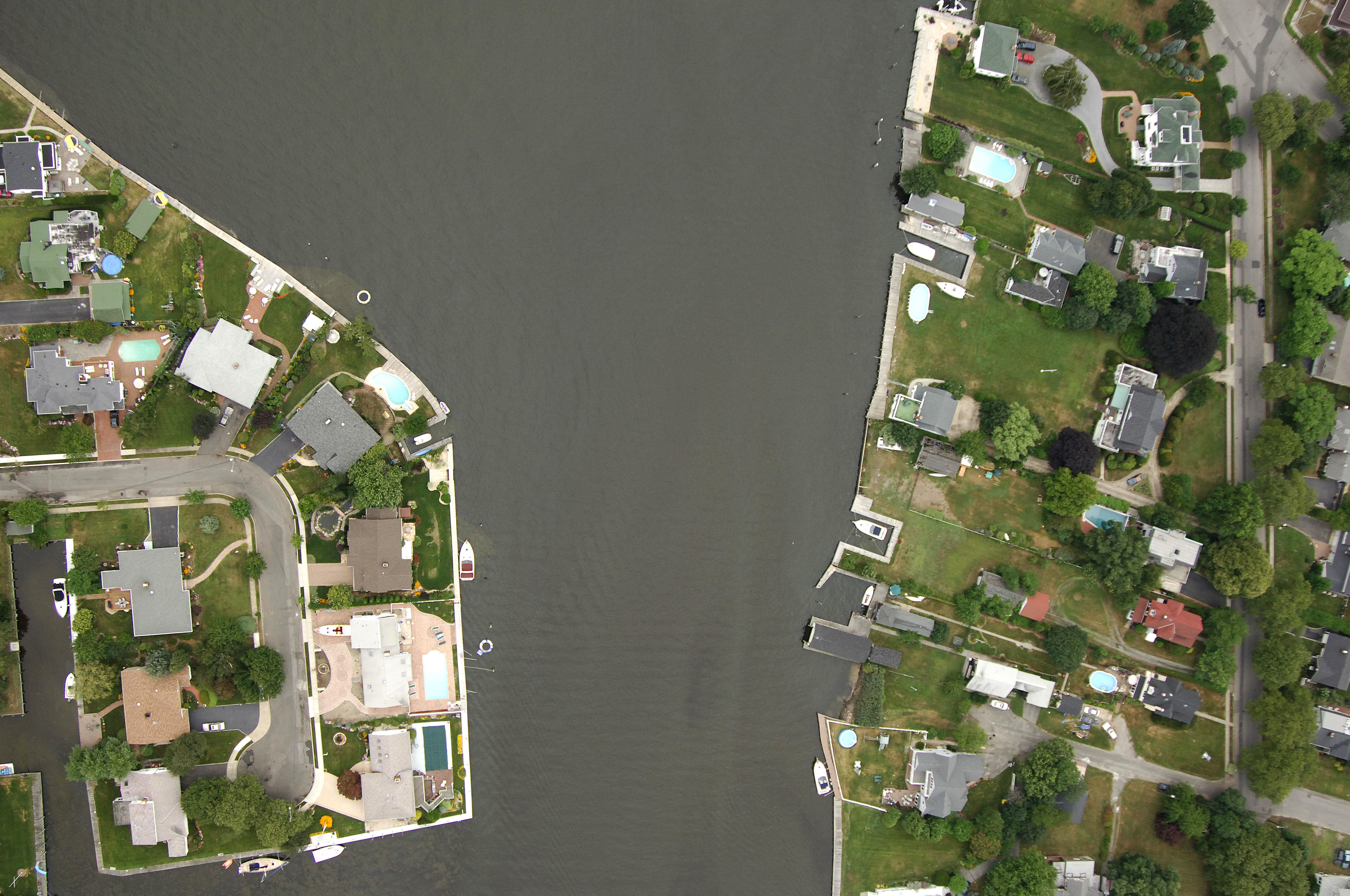
Amityville Creek Inlet
| Amityville, New York United States | |
| 40° 39' 29.87'', -73° 24' 42.85'' | |
| Robert Moses Crossway Bridge |


You might also consider...


About
Introduction:
The town of Amityville and Amityville Creek are located off Great South Bay about 10 miles northwest of the Fire Island Inlet and 11 miles northeast of Jones Beach Inlet. There is only one marina here, but they do accept transients. Amityville Creek has eight-foot depths along most of its length.
Navigating the Water:
Use NOAA Chart 12352.
Amityville Creek is unique in that it can either be approached from Great South Bay or the State Boat Channel farther south along Jones Island. Either route has some caveats. There is reportedly severe shoaling in the Great South Bay channel from Strongs Point to Amityville Creek. According to the current NOAA chart, there are places along the channel that have shoaled to a half-foot or less. Needless to say, if you choose this route, do so with a shoal draft boat and a close eye on the depth sounder. The route from the State Boat Channel via Amityville Cut is far more reliable, with at least eight-foot depths, but one-foot-deep shallows await the mariner who strays beyond the unmarked route. Have a current chart handy and follow it religiously.
Local Notices to Mariners:
Local Notices to Mariners are available online from the U.S. Coast Guard.