Namequoit River Inlet
| Chatham, Massachusetts United States | |
| 41° 45' 42.85'', -69° 58' 5.88'' | |
| Pleasant Bay |


You might also consider...


About
Introduction:
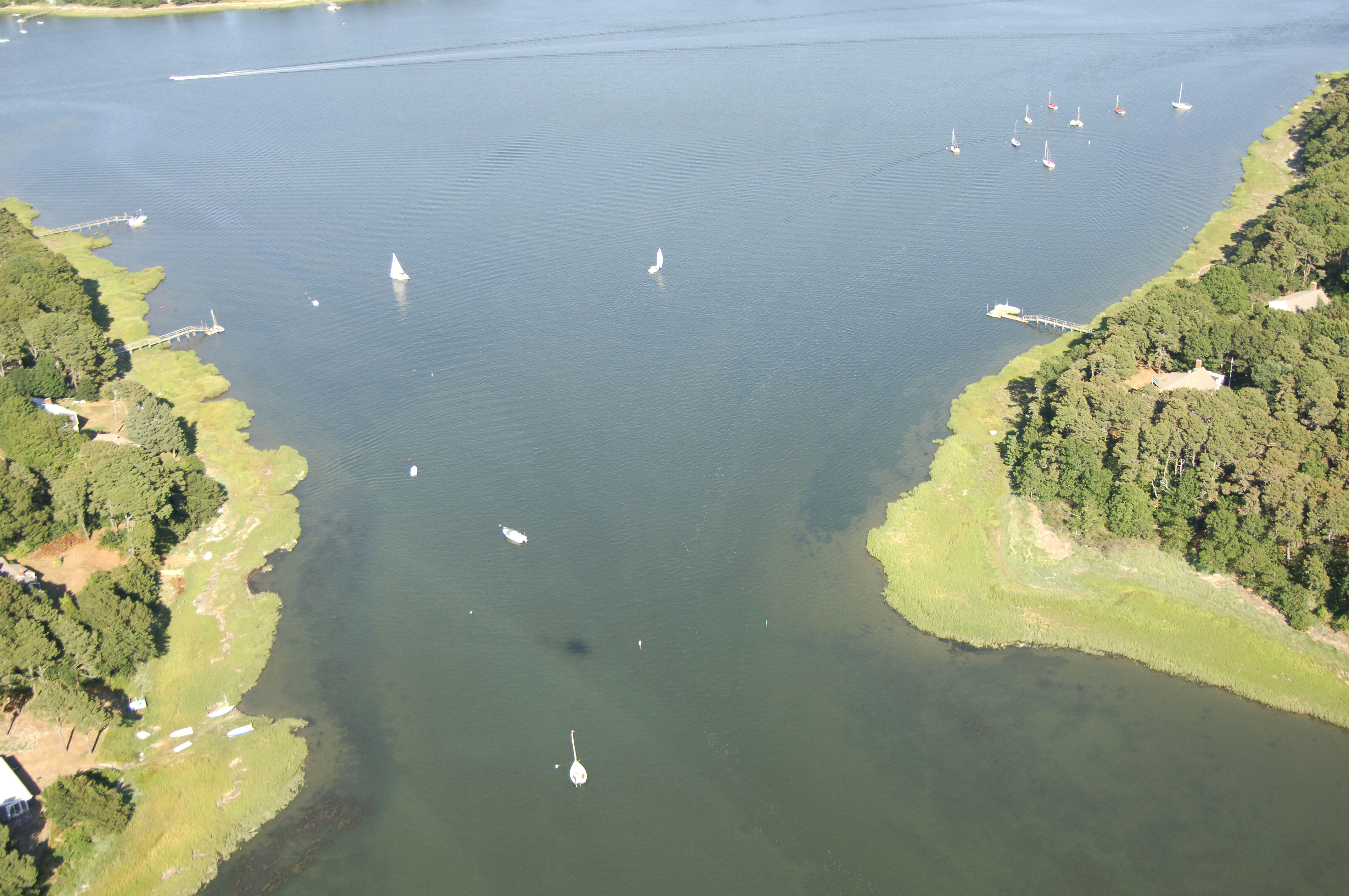
The Namequoit River Inlet is located up a complex of bays and side waters that eventually lead into the Atlantic Ocean at Chatham Harbor at the south end of Cape Cod. From Chatham Harbor, the Namequoit River is an eight-mile journey up Chatham Harbor, Pleasant Bay and Little Pleasant Bay. Depths are in the five to seven-foot-deep range for most of the journey, but only those drawing four feet or less (and on a rising tide) should attempt the passage all the way north to the Namequiot River. Once you have arrive, there are a couple of deeper spots at the mouth of the river suitable for anchoring.
Navigating the Water:
Use NOAA Chart 13248.
From Chatham Harbor, you will follow the series of unmarked channels through Pleasant Bay and Little Pleasant Bay. Picking up at Allen Point north of Chatham Harbor, head northwest between Strong Island and Nickersons Neck to reach Pleasant Bay. Once you have crossed Pleasant Bay, you must pass through The Narrows, which is a channel that leads between Sipson Island and the mainland. Follow the nun buoys carefully here and also keep an eye on the depth sounder as you feel your way through.
Proceeding north, hug the shore slightly as you leave the last red and green nun buoys behind. Now into Little Pleasant Bay, follow the series of red and green nun buoys north past Namequoit Point, and into the Namequoit River.
Local Notices to Mariners:
Local Notices to Mariners are available online from the U.S. Coast Guard.