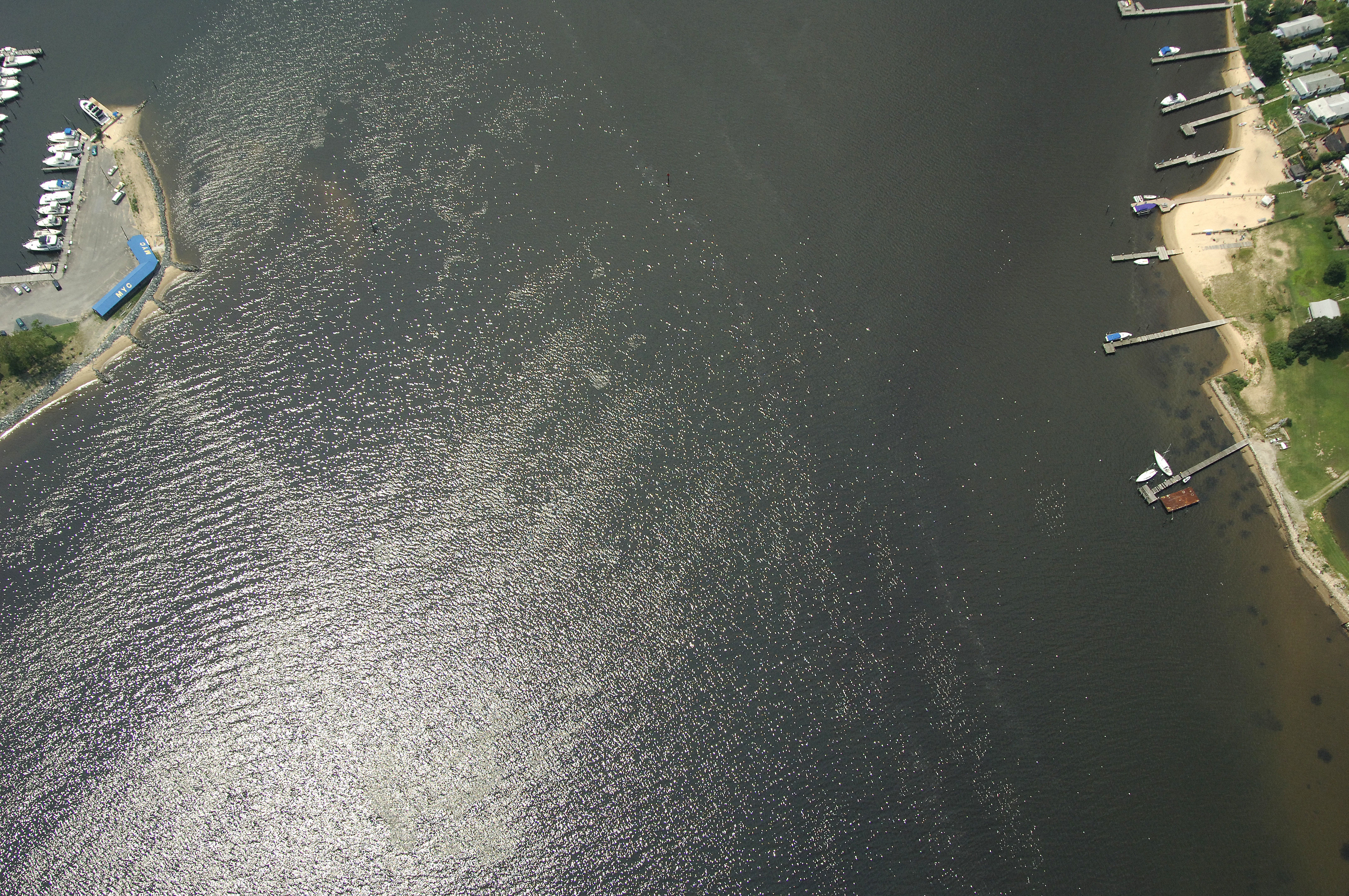
Rock Creek Inlet
| Riviera Beach, Maryland United States | |
| 39° 9' 28.08'', -76° 29' 56.05'' | |
| Rock Creek |


You might also consider...


About
Navigating the Water:
Use NOAA Chart 12278.
Although the shortest route from the Patapsco River would lead you west in from the Craighill Channel near Bodkin Point, that route would leave you to contend with numerous obstructions close to shore and Rocky Point Shoal, which extends a mile northward form the mouth of Rock Creek.
A better approach is to follow the Craighill Channel to its confluence with the Brewerton Channel, and then exit at flashing green buoy 7, just north of the Rock Creek Inlet. From here, set a course south to flashing red 2 while making sure to avoid the charted whit light at White Rocks, a large outcropping of, as the name implies, white rocks.
From flashing red 2, flashing green 3 helps to lead you farther into the creek. Depths in Rock Creek average out at about 11 to 13 feet, and two red daybeacons mark the shallow spots farther in.
Introduction:
Rock Creek is located on the south shore of the Patapsco River about three mile from the mouth behind Rock Point. Rock Creek is an an excellent stopover destination for boater. The creek has two fine marinas with most services (including repairs) and a couple of nice quiet anchorages for those who want to set the hook for the evening.
Local Notices to Mariners:
Local Notices to Mariners are available online from the U.S. Coast Guard.