Rockland Harbor Inlet
| Rockland Harbor, Maine United States | |
| 44° 6' 10.8'', -69° 4' 28.2'' | |
| Rockland Harbor |


About
Introduction:
Rockland Harbor is a major boating center that is located on the west side of Penobscot Bay in Knox County. Geographically speaking, Rockland Harbor is 10 miles west of Vinalhaven and 45 miles southwest of Mount Desert Island.
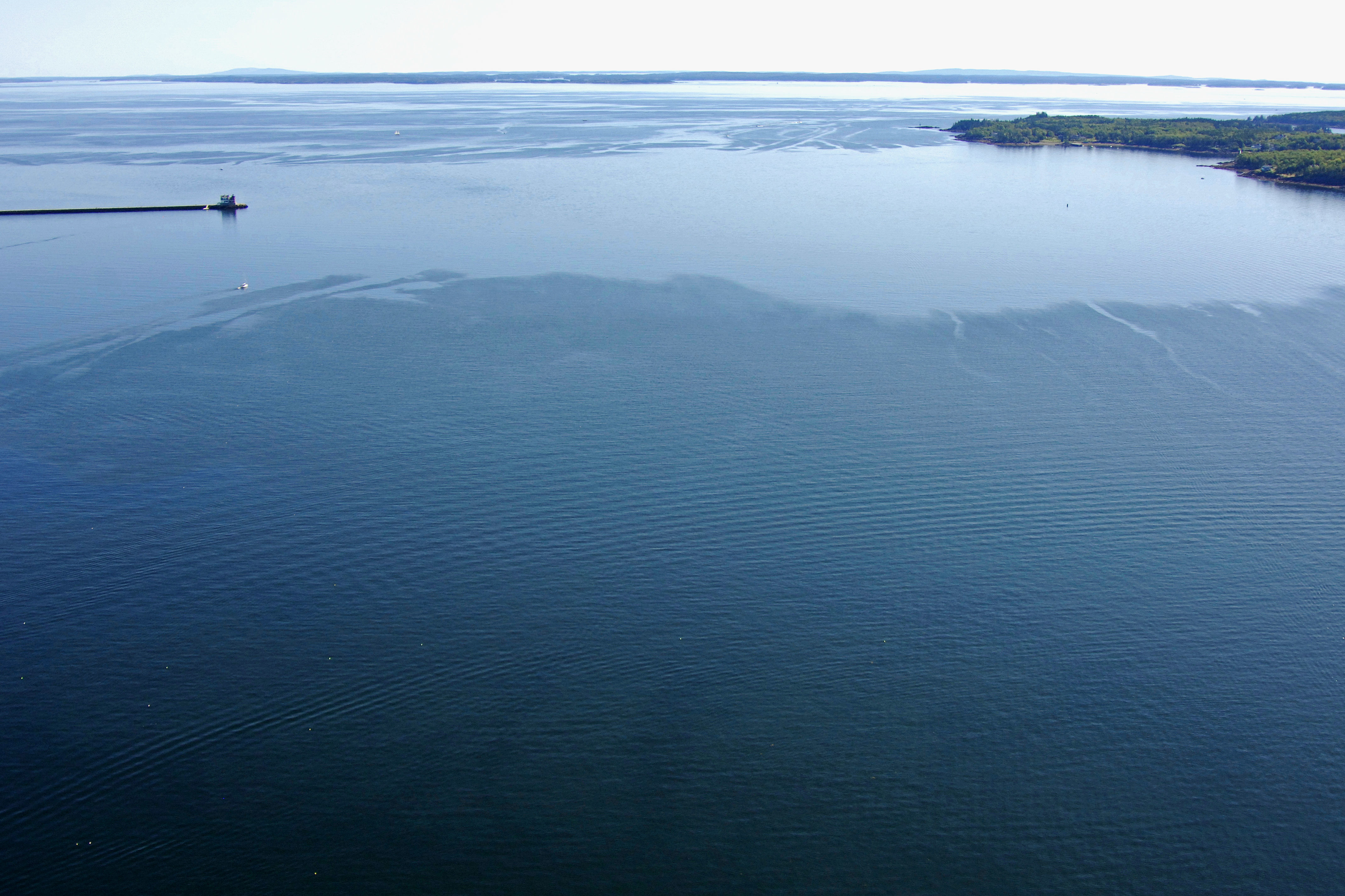
The image above is a view from the east looking west over Rockland harbor where it meets Penobscot Bay north of Post Hill. In the right-hand portion of the image, the end of the Rockland Harbor Breakwater, and the Rockland Harbor Breakwater Light can be seen. In the upper-right-hand corner of the image, the Rockland Harbor is visible.
There are a plethora of marine service and marina facilities peppered along Rockland Harbors waterfront; eight it total from Jameson Point on the north side to Atlantic Point to the south. Of the eight facilities, three accept transient guests at dockside slips (Knight Marina Service; Journeys End Marina; Rockland Landings Marina) and five maintain moorings in the harbor area. If you need to fill up with gas or diesel fuel, three facilities (Knight Marina Service; Journeys End Marina; Rockland Landings Marina) pump both. Lastly if you need to be hauled out for repairs or related service, Knight Marine service and Journeys End Marina.
Navigating the Water:
Use NOAA Chart 13305.
Rockland Harbor is reached via an approach from the east from Penobscot Bay. If you are approaching at night or in fog, the Owls Head Light House stands 90 feet above its namesake geographical feature with a flashing white light and horn signal during forg or reduced visibility.
First, set a course from Penobscot Bay to intercept red and white Morse (A) buoy PB, which is locate at an approximate waypoint of N44 05.89 W069 00.20. Once you have safely navigated to red and white Morse (A) buoy PB, set an approximate course of 292 degrees magnetic for about 3.7 miles to pick up the Rockland Breakwater Lighthouse on the southern end of the breakwater itself.
From here, set a new course of about 284 degrees magnetic for nearly .8 mile to intercept flashing red 2, and the beginning of the surrounding dredges channels that run along the Rockland waterfront.
Local Notices to Mariners:
Local Notices to Mariners are available online from the U.S. Coast Guard.