Dorchester Bay Inlet
| Dorchester, Massachusetts United States | |
| 42° 18' 34.73'', -70° 58' 33.51'' | |
| Old Harbor |

You might also consider...


About
Introduction:
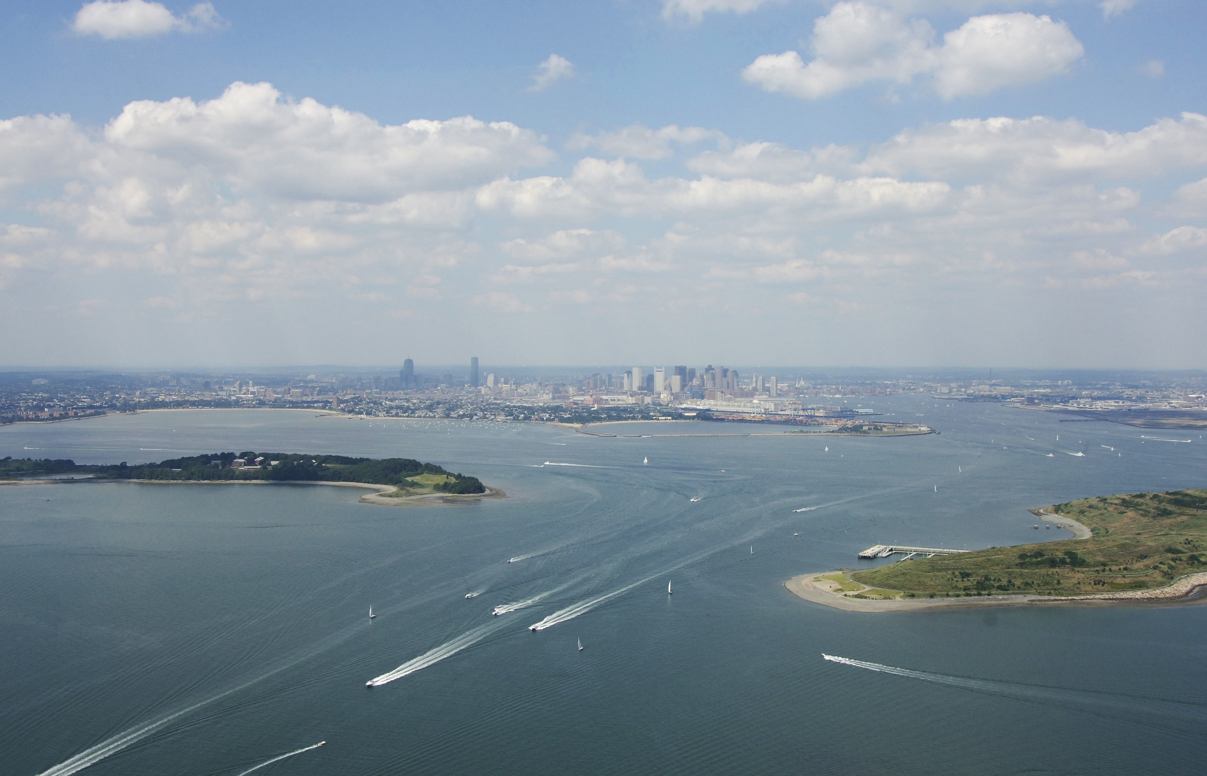
Dorchester Bay is located in South Boston off Boston Harbor just south of Fort Independence. Although Mainly an industrial area, South Boston has its share of marina and marine repair facilities near Pleasure Bay and Columbia Point. Depths in Dorchester Bay are in the eight to 10 foot range.
Navigating the Water:
Use NOAA Chart 13270.
The initial approach marker to Boston Harbor and Dorchester Bay from the Atlantic Ocean is red and white Morse (A) buoy "NC," which is about one mile northeast of Fins Ledge. Once you have picked up quick flashing red buoy "2," you can start down the Boston North Channel (East Part) toward the opening of Boston Harbor between Deer and Long Islands at President Roads.
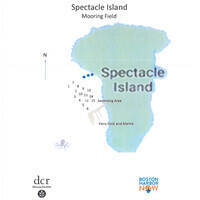
Quick flashing green buoy "3" near Spectacle Island is the exit point for Dorchester Bay, which breaks off of Boston Harbor to the south at this point. Eight marina facilities are located in Dorchester Bay. Four are tucked just behind Pleasure Bay, and four more are scattered in and around Columbia Point to the south.
Keep in mind that not only recreational boating traffic, but large commercial vessels also frequently travel Boston Harbor, which means all boaters should be on the lookout for these hard to maneuver ships. Keep in mind that most of these vessels are usually under tug control and have little or no maneuverability. Keep out of their way.
Local Notices to Mariners:
Local Notices to Mariners are available online from the U.S. Coast Guard.