


Cumberland Island Harbor
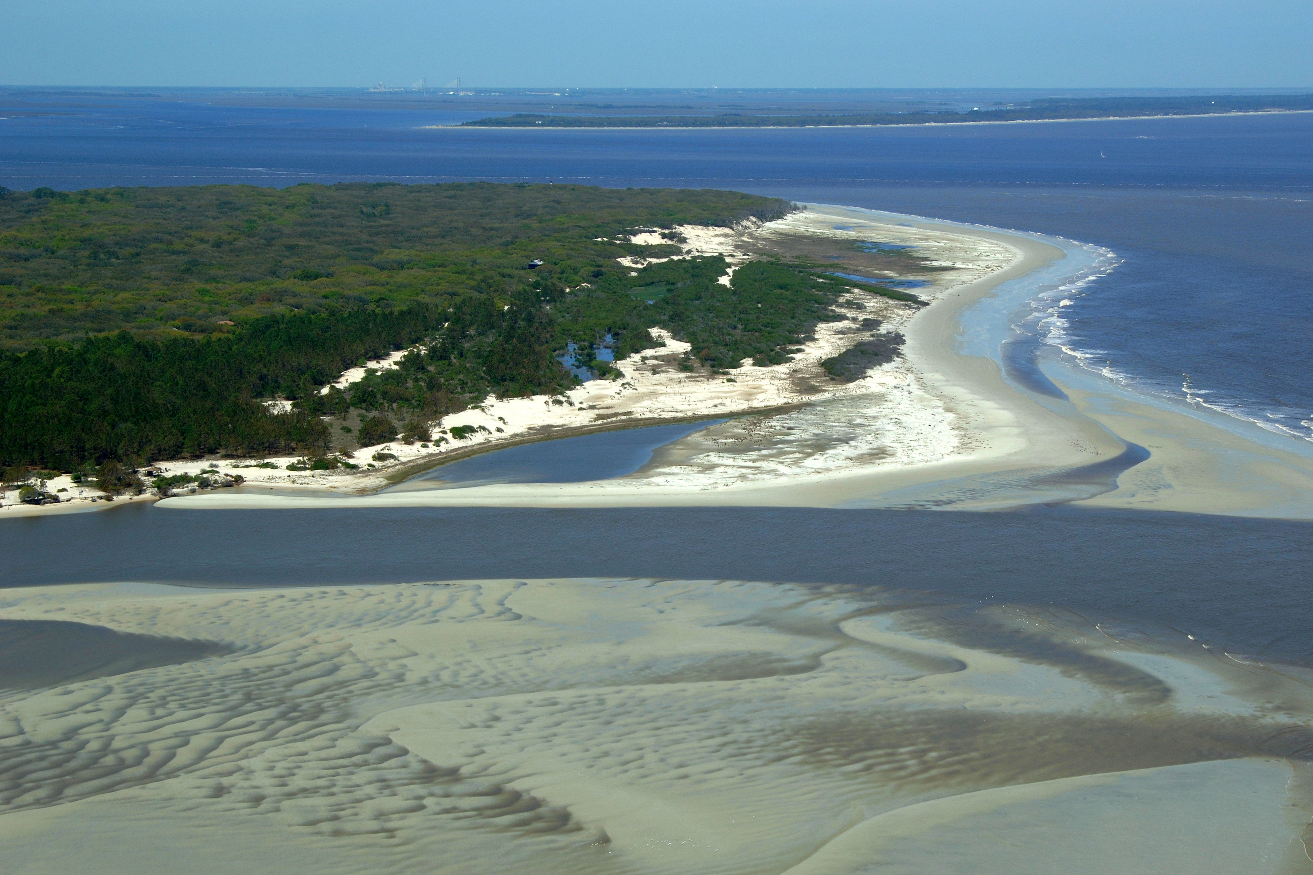
Cumberland Island, Georgia United States
Marinas near Cumberland Island Harbor
| Name | Reviews | Max LOA | VHF | Dock Depth | Gas / Diesel | Lift / Crane | Wifi | Amps |
|---|---|---|---|---|---|---|---|---|
| St Marys Boat Services | - | - | - | - | - | LYes | - | - |
| Tiger Point Marina | 0.0' | 16 | Low 8.0'High 13.0' | - | - | - | ||
| Egans Creek Marina | - | 0.0' | - | Low 0.0'High 0.0' | - | - | - | - |
| Olde Towne Marina | - | 0.0' | - | Low 0.0 mHigh 0.0' | - | - | - | - |
| St. Marys Intracoastal Gateway Marina | 130.0' | 16 | Low 25.0' | - | - | - | ||
| Lang's Marina | - | 0.0' | 16 | Low 12.0'High 0.0' | GYesDYes | - | - | - |
| Florida Petroleum Corp | - | 0.0' | 16 | Low 30.0'High 0.0' | - | - | - | - |
| Fernandina Harbor Marina | 250.0' | 16 | Low 8.0' | G$6.259/galD$5.551/gal | - | 30 / 50 | ||
| Oyster Bay Yacht Club | 65.0' | 13 | Low 6.0' | - | - | - | - | |
| Amelia Island Marina | 90.0' | 72 | Low 6.0' | G$5.399/galD$5.89/gal | LYes | 30, 50, | ||
| Jekyll Harbor Marina | 200.0' | 16 | Low 8.0' | G$5.50/galD$5.35/gal | - | 30/50 | ||
| Jekyll Island Wharf | - | 0.0' | - | Low 0.0 mHigh 0.0' | - | - | - | - |
| Hickory Bluff Club & Marina | - | - | - | - | - | - | - | - |
| Brunswick Landing Marina | 250.0' | 16 | High 185.0' | G$4.765/galD$5.139/gal | LYesCYes | 30, 50, 100 | ||
| Morningstar Marinas | Golden Isles | 200.0' | 16 | Low 13.0' | G$5.219/galD$5.863/gal | - | 30/50/100 |
Introduction:
Cumberland Island was inhabited by Indians as far back as 4,000 years ago, and more recently was the site of Spanish missions and British colonial forts. Revolutionary War hero Nathaniel Greene purchased land on the island in 1783 and his widow, Catherine Greene, built a four-story home that she named Dungeness. In the 1890's "The Settlement" was established at the north end of the island for black workers. The First African Baptist Church, established here in 1893 and rebuilt in the 1930s, is one of the few remaining structures of this community. In the 1880's Thomas Carnegie, brother of steel magnate Andrew Carnegie, began building a mansion on the site of Dungeness, though he never lived to see its completion. Today, the ruins of the mansion remain on the southern end of the island. Plum Orchard, an 1898 Georgian Revival-style mansion built for son, George, and his wife, Margaret Thaw, was donated to the National Park Foundation by Carnegie family members in 1971.