

Kent Narrows Harbor
Grasonville, Maryland United States
Marinas near Kent Narrows Harbor
| Name | Reviews | Max LOA | VHF | Dock Depth | Gas / Diesel | Lift / Crane | Wifi | Amps |
|---|---|---|---|---|---|---|---|---|
| Kent Narrows Yacht Yard | - | 0.0' | - | Low 0.0'High 0.0' | - | - | - | - |
| Piney Narrows Yacht Haven | - | - | - | GYesDYes | - | - | - | |
| Castle Marina | 55.0' | 9 | Low 6.0'High 0.0' | G$4.15/galD$3.77/gal | - | 30, twin-30, 50 | ||
| Kent Narrows Boatel | 43.0' | 16 | Low 6.0'High 65.0' | GYes | LYes | - | - | |
| Kent Narrows Boatel Ship Store | - | - | - | - | - | - | - | - |
| Kent Island Yacht Club | 90.0' | - | Low 10.0' | - | - | twin 30s, 50 | ||
| Safe Harbor Narrows Point | 100.0' | 9 | - | GYesDYes | LYes | 30, 50 | ||
| Hyatt Place Kent Narrows & Marina | - | - | - | - | - | - | ||
| The Yacht Center Marina | - | - | - | - | - | - | - | - |
| Safe Harbor Narrows Point South | - | 80.0' | - | - | - | LYes | - | - |
| The Narrows Restaurant | - | - | - | - | - | - | - | - |
| Wells Cove Marina | - | 16 | Low 6.0' | - | - | - | ||
| Clarks Landing Yacht Sales Stevensville, Maryland | - | - | - | - | - | - | - | - |
| Oyster Cove Condominium Marina | - | 0.0' | - | Low 0.0 mHigh 0.0' | - | - | - | - |
| Cedar Point Marina | - | - | - | - | - | - | - | - |
Introduction:
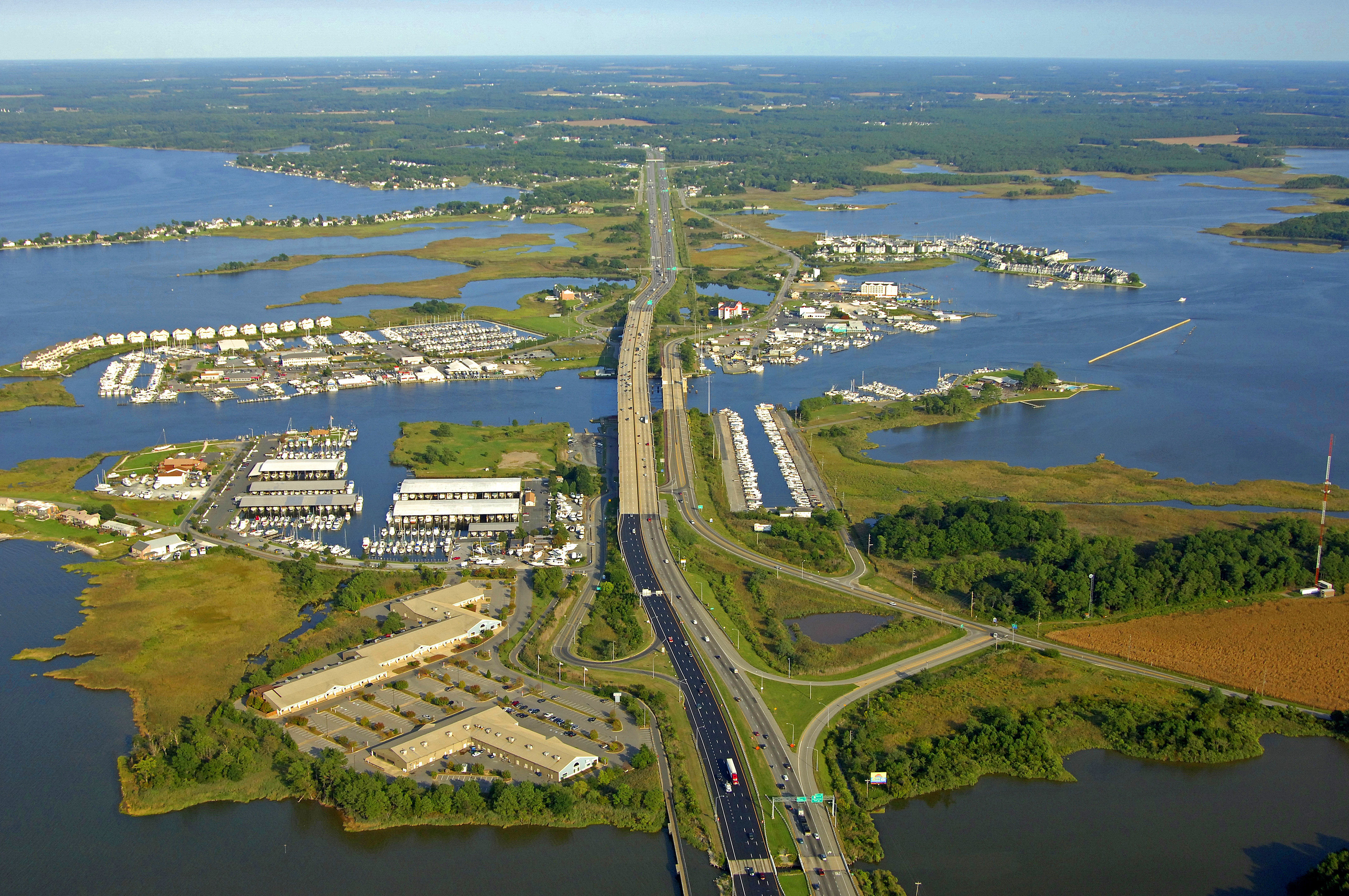
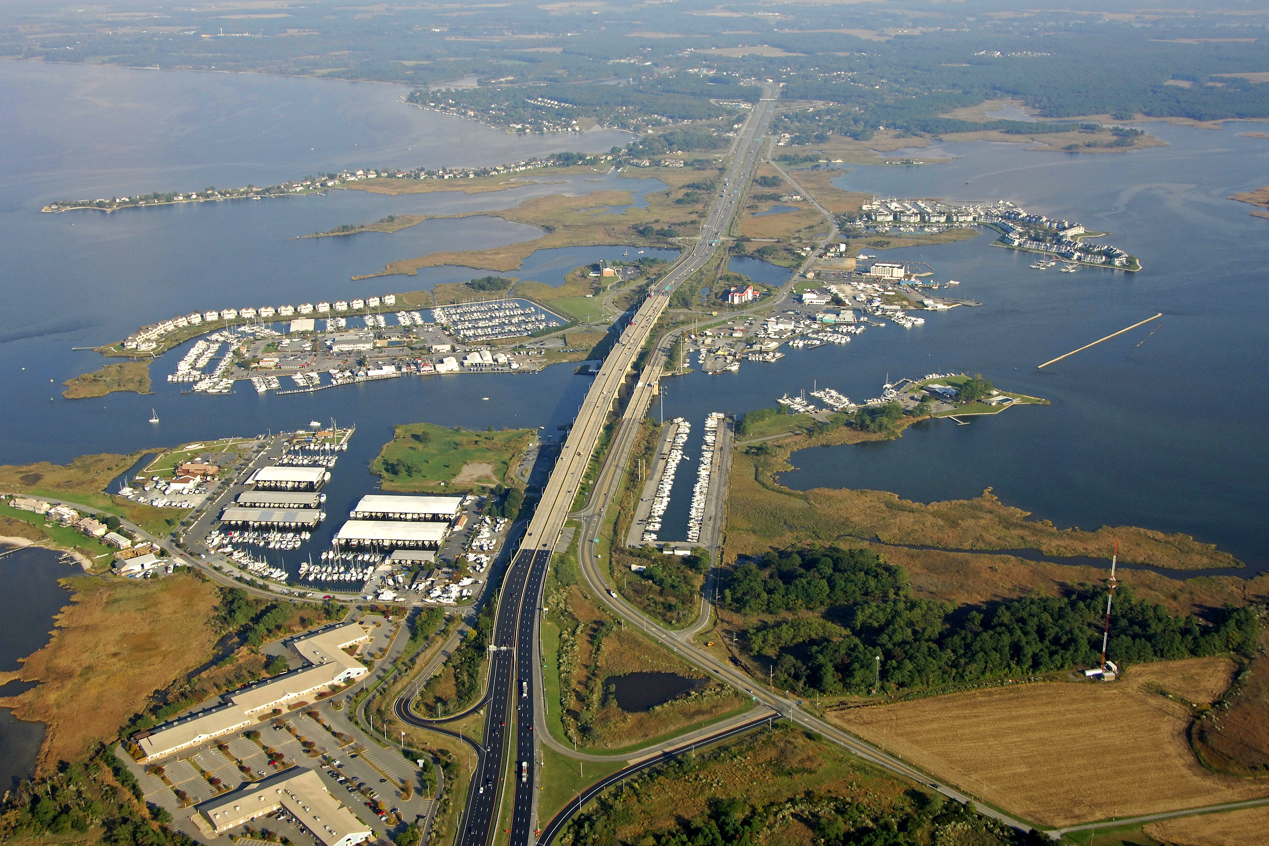
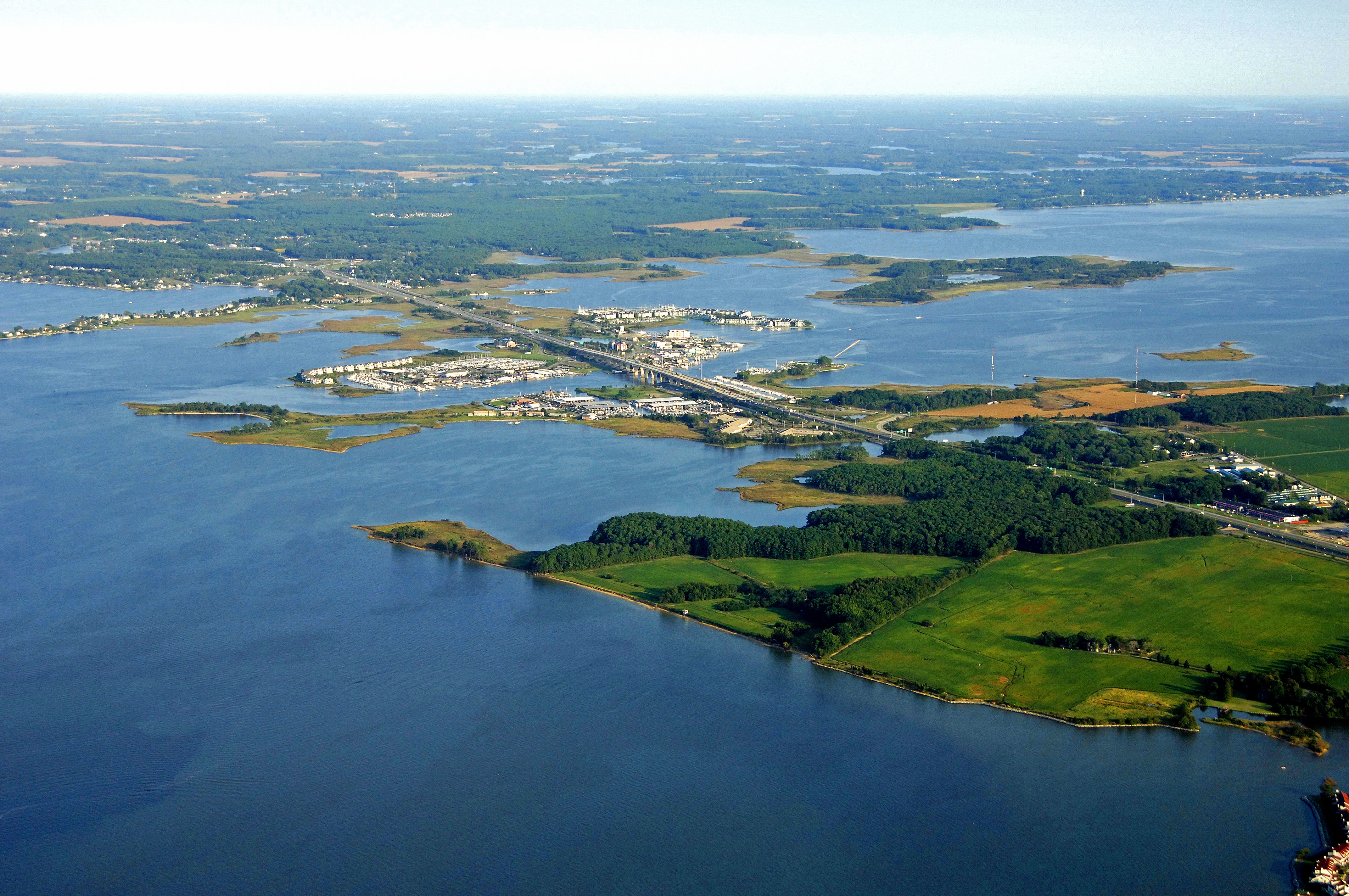
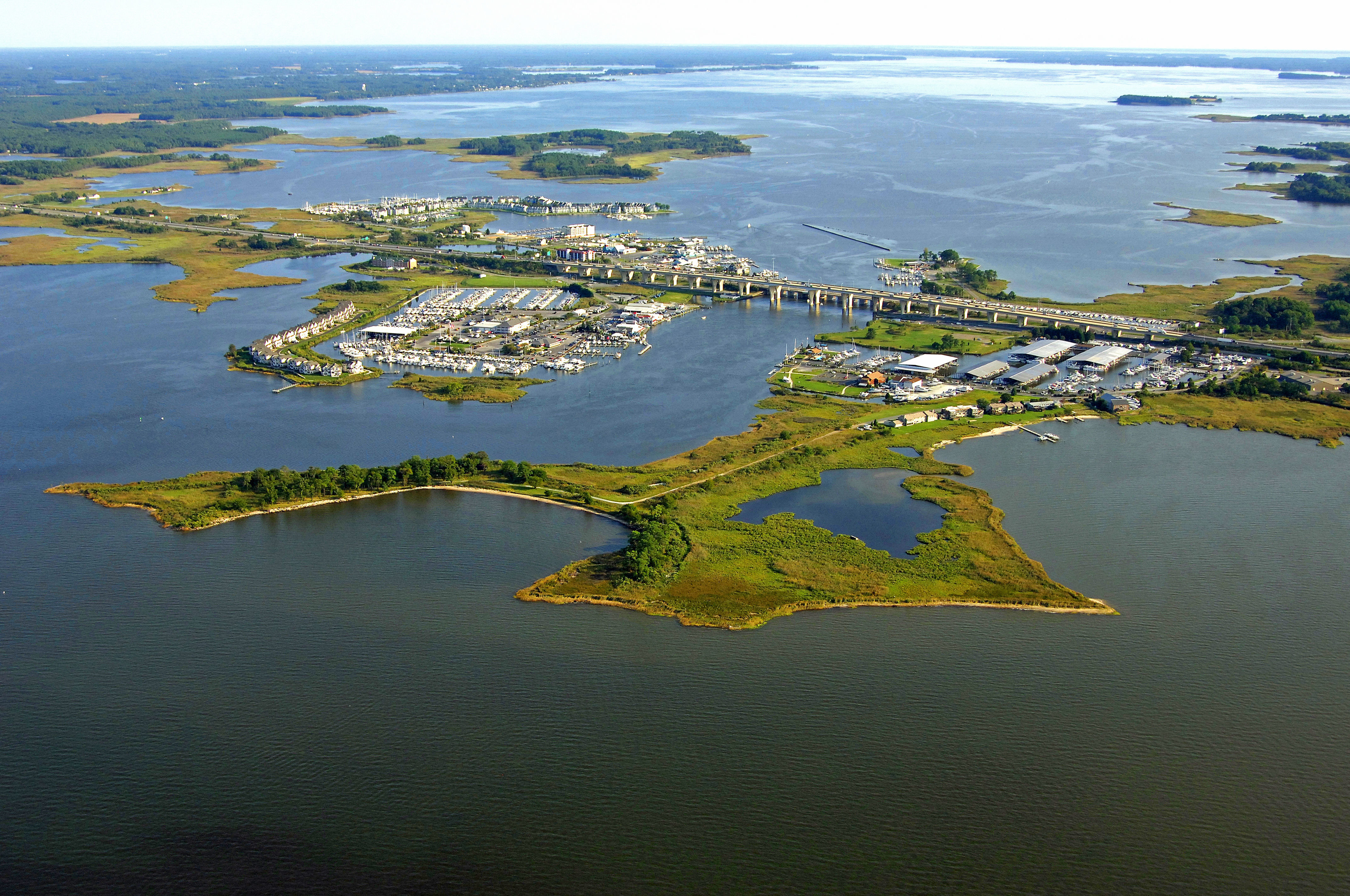
Kent Narrows is a major north-south thoroughfare that allows boating traffic from the Chester River to travel south, and into, Eastern Bay. The Kent Narrows is lined with just about every imaginable marine service including marinas, repair yards, dock bars and restaurants. Summertime traffic here is hectic, as boats ply the water for fish, and traveling mariners look for the best slip to tie up at for the evening. The Chesapeake Exploration Center on the beautiful Kent Narrows is a great first stop, providing visitors an overview of the region's heritage, resources and culture of Queen Annes County, Gateway to the Eastern Shore. Also located on the property is the entrance to Ferry Point Park which includes a 530-foot boardwalk that takes visitors over marsh and onto a trail leading to open space, a wooded area and a beach overlooking the river. The Kent Narrows is home to many restaurants featuring delicious, decadent seafood, dock bars with lively entertainment and a great view!
Navigating the Water:
Use NOAA Chart 12272.
From the Chester River, Kent Island Narrows North Inlet is reached via along dredged channel that approaches from the northwest, and then makes a sharp dogleg to the south. Kent Island's narrows is notorious for two things: shoaling and strong currents. Although thousands of boaters make this passage every year without event, usually only careless mariners are the ones that end up on a shoal. You can check out the latest Local Notice to Mariners at http://www.navcen.uscg.gov/?pageName=lnmDistrict®ion=5 for up to date information on shoaling not only in the Kent Narrows, but anywhere else on the Bay.
From the north, quick flashing red 2K and quick flashing green 1K mark the beginning of the passage toward Kent Island Narrows. Next in line are flashing red 4 and flashing green 3, followed by quick flashing red 6 and quick flashing green 5. At this point, the channel makes a turn to the south, and flashing red 8 and green daybeacon 9 must be observed in order to avoid going aground on the two-foot-deep shoal extending south from the western tip of the island.
Two more sets of daybeacons and a flashing green light help guide you in the rest of the way to Kent Island Narrows. A 65-foot fixed vertical clearance bridge crosses the Narrows at the half way point, and a 18-foot closed vertical clearance bascule bridge follows just south of the first high clearance bridge.
The bascule Bridge operates on a restricted opening schedule. From Nov.1- to April 30 the bridge opens on signal from 6 a.m. to 6 p.m. From May 1 to Oct. 31, the bridge opens on the hour and half-hour from 6 a.m. to 9 p.m. Other times need not open.
Approaching from the south (Eastern Bay), pick up flashing green 3, which is the start to southerly approach toward the narrows.
Local Notices to Mariners:
Local Notices to Mariners are available online from the U.S. Coast Guard.