Knapps Narrows Inlet East
| Tilghman, Maryland United States | |
| 38° 42' 56.16'', -76° 19' 41.88'' | |
| Knapps Narrows |


You might also consider...


About
Introduction:
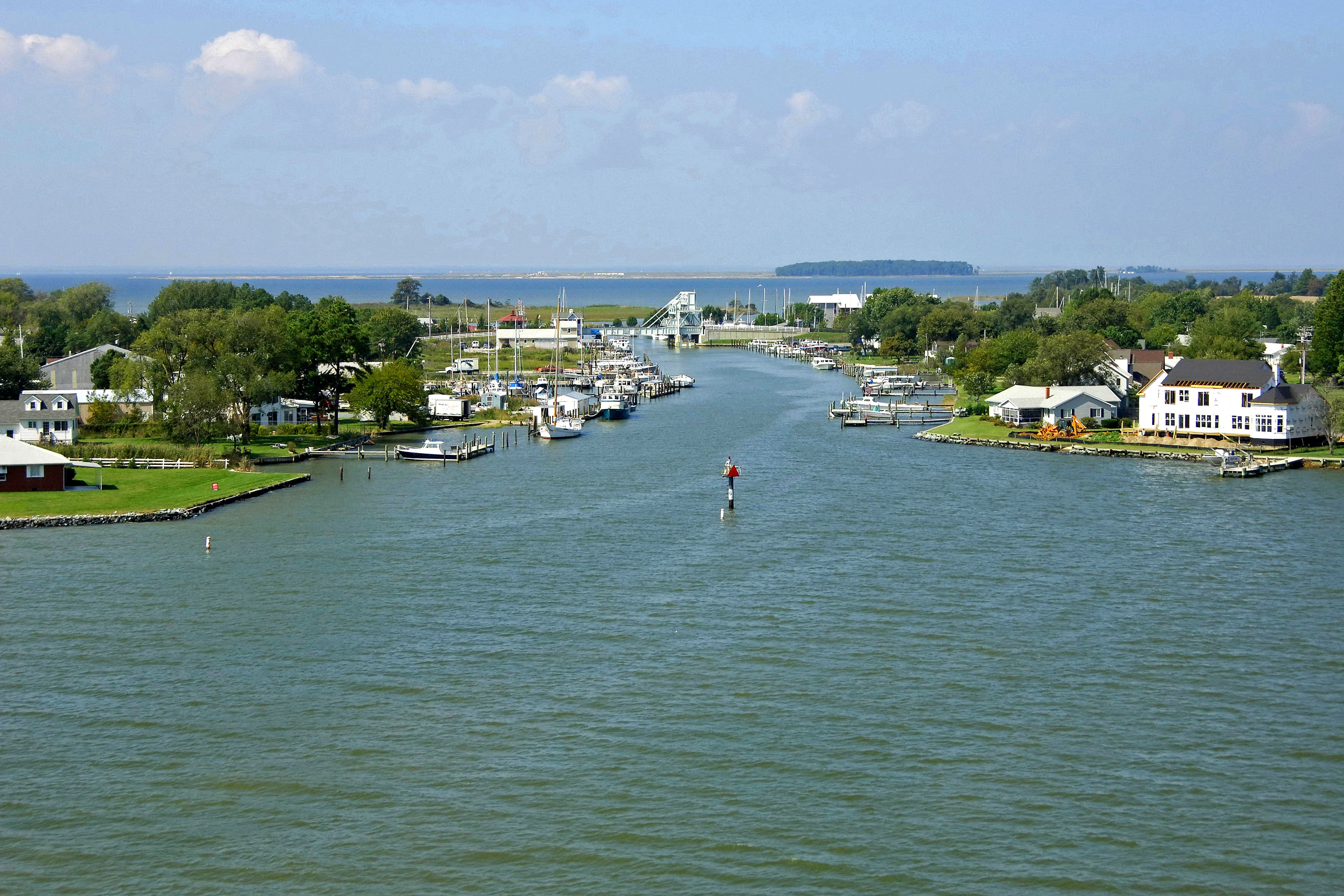
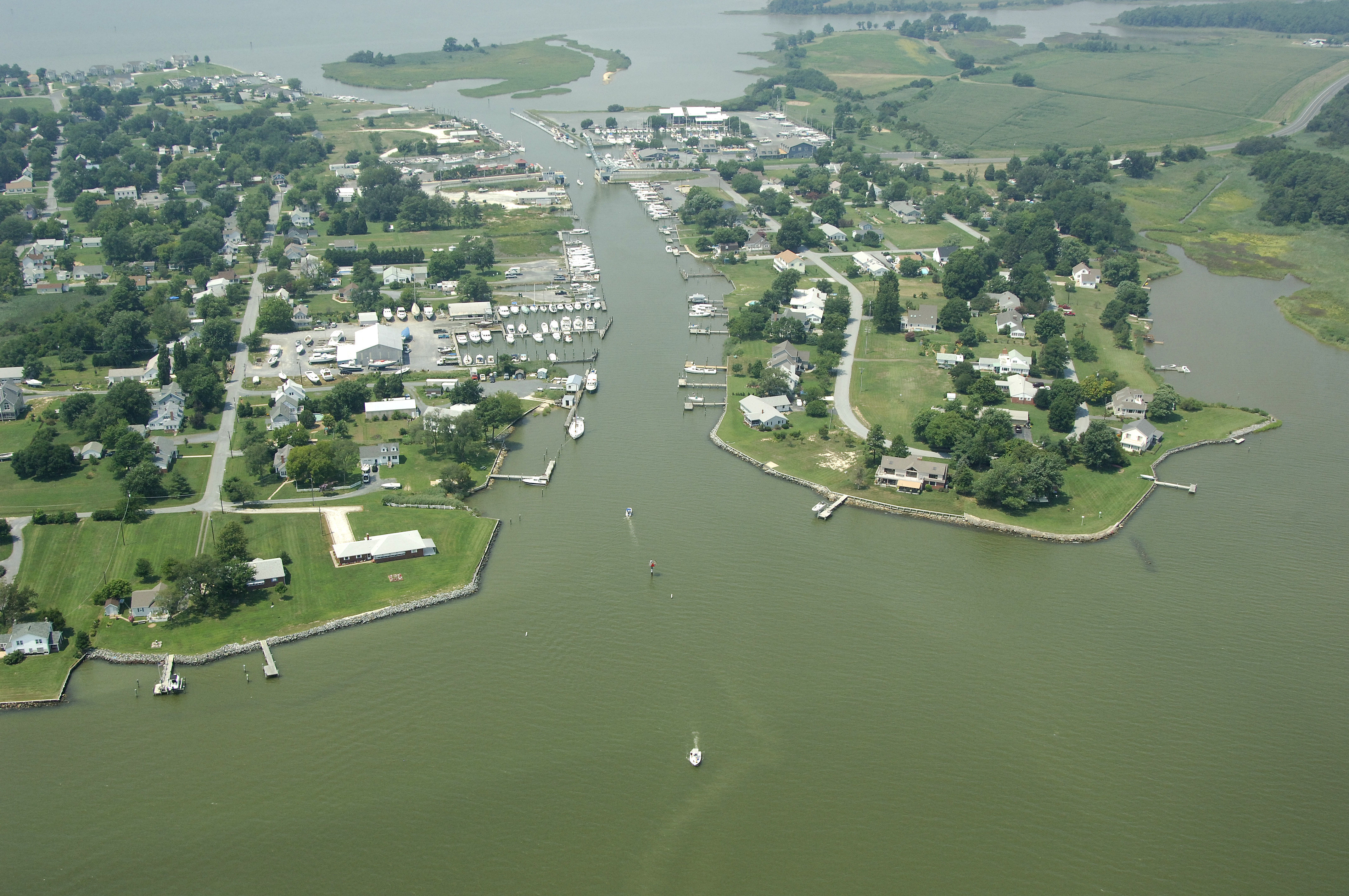
Knapps Narrows is a water break in the Tilghman Island Peninsula that not only allows access to the Chesapeake Bay from the Choptank River without rounding Blackwalnut Point, but also serves as home to some of the last remaining fishing vessels that sail - the Chesapeake Bay Skipjack. Knapps Narrows is 17 miles west of Cambridge.
Navigating the Water:
Flashing green 3 marks the eastern approach to Knapps Narrows. After clearing this mark, set a course for green daybeacon 5, and then flashing red 6 (visible in the image above). During any change of the tide, be sure to keep an eye on your position within the Narrows to ensure you are not being taken off course, and possibly aground.
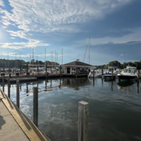
From here, you must pass through the Knapps Narrows Bascule Bridge (12-foot closed vertical clearance with 42 feet of horizontal clearance in the center span). The bridge opens on demand 24 hours a day. There is a small but well equipped marina just to the east of the bridge where transient dockage or repairs can be arranged.
Local Notices to Mariners:
Local Notices to Mariners are available online from the U.S. Coast Guard.